Prof. Song Gao was named the 2024 AAG Fellow

The American Association of Geographers (AAG) Fellows is a recognition and service program that applauds geographers who have made significant contributions to advancing geography.  Congratulations to Professor Song Gao who was recently selected into the 2024 AAG Fellows! 

Source: https://www.aag.org/2024-aag-awards-recognition/#fellows

Dr. Song Gao is an associate professor of geography and the director of the Geospatial Data Science Lab at the University of Wisconsin Madison. He has established himself as one of the thought leaders and highly cited scholars in the field of geospatial artificial intelligence (GeoAI) and was heavily involved in the geospatial modeling of the spread of COVID-19. He has successfully mentored young scholars and students in GIScience, offered workshops and webinars for the AAG and other organizations, and is an associate editor for AAG’s International Encyclopedia of Geography and International Journal of Geographical Information Science. Dr. Gao’s involvement with cutting-edge data science and AI techniques, his commitment to taking on and solving important challenges, and his enthusiasm for working with different international organizations make him a strong asset to the AAG.

New GeoAI Handbook published

The new Handbook of Geospatial Artificial Intelligenceedited By Drs. Song Gao (University of Wisconsin-Madison), Yingjie Hu (University at Buffalo), and Wenwen Li (Arizona State University) is now published! Dr. Michael F. Goodchild (University of California-Santa Barbara) wrote a Foreword to provide a historic context and recent advances to help the reader to understand the significant shift in the geographic sciences with AI.

This comprehensive handbook covers Geospatial Artificial Intelligence (GeoAI), which is the integration of geospatial studies and AI technologies such as machine (deep) learning and knowledge graph. It explains key fundamental concepts, methods, models, and technologies of GeoAI, and discusses the recent advances, research tools, and applications that range from environmental observation and social sensing to natural disaster responses. As the first single volume on this fast-emerging domain, the GeoAI handbook is an excellent resource for educators, students, researchers, and practitioners utilizing GeoAI in fields such as information science, environment and natural resources, geosciences, geography, and beyond!

Book chapters and their authors:

Section 1: Historical Roots of GeoAI

Chapter 1: Introduction to Geospatial Artificial Intelligence (GeoAI)

By Song Gao, Yingjie Hu, Wenwen Li

Chapter 2: GeoAI’s Thousand-Year History

By Helen Couclelis

Chapter 3: Philosophical Foundations of GeoAI: Exploring Sustainability, Diversity, and Bias in GeoAI and Spatial Data Science

By Krzysztof Janowicz

Section 2: GeoAI Methods

Chapter 4: GeoAI Methodological Foundations: Deep Neural Networks and Knowledge Graphs

By Song Gao, Jinmeng Rao, Yunlei Liang, Yuhao Kang, Jiawei Zhu, Rui Zhu 

Chapter 5: GeoAI for Spatial Image Processing

By Samantha T. Arundel, Kevin G. McKeehan, Wenwen Li, Zhining Gu

Chapter 6: Spatial Representation Learning in GeoAI

By Gengchen Mai, Ziyuan Li, Ni Lao

Chapter 7: Intelligent Spatial Prediction and Interpolation Methods

By Di Zhu, Guofeng Cao

Chapter 8: Heterogeneity-Aware Deep Learning in Space: Performance and Fairness

By Yiqun Xie, Xiaowei Jia, Weiye Chen, Erhu He

Chapter 9: Explainability in GeoAI

By Ximeng Cheng, Marc Vischer, Zachary Schellin, Leila Arras, Monique M. Kuglitsch, Wojciech Samek, Jackie Ma

Chapter 10: Spatial Cross-Validation for GeoAI

By Kai Sun, Yingjie Hu, Gaurish Lakhanpal, Ryan Zhenqi Zhou

Section 3: GeoAI Applications

Chapter 11: GeoAI for the Digitization of Historical Maps

By Yao-Yi Chiang, Muhao Chen, Weiwei Duan, Jina Kim, Craig A. Knoblock, Stefan Leyk, Zekun Li, Yijun Lin, Min Namgung, Basel Shbita, Johannes H. Uhl 

Chapter 12: Spatiotemporal AI for Transportation

By Tao Cheng, James Haworth, Mustafa Can Ozkan 

Chapter 13: GeoAI for Humanitarian Assistance

By Philipe A. Dias, Thomaz Kobayashi-Carvalhaes, Sarah Walters, Tyler Frazier, Carson Woody, Sreelekha Guggilam, Daniel Adams, Abhishek Potnis, Dalton Lunga 

Chapter 14: GeoAI for Disaster Response

By Lei Zou, Ali Mostafavi, Bing Zhou, Binbin Lin, Debayan Mandal, Mingzheng Yang, Joynal Abedin, Heng Cai 

Chapter 15: GeoAI for Public Health

By Andreas Züfle, Taylor Anderson, Hamdi Kavak, Dieter Pfoser, Joon-Seok Kim, Amira Roess 

Chapter 16: GeoAI for Agriculture

By Chishan Zhang, Chunyuan Diao, Tianci Guo 

Chapter 17: GeoAI for Urban Sensing

By Filip Biljecki 

Section 4: Perspectives for the Future of GeoAI

Chapter 18: Reproducibility and Replicability in GeoAI

By Peter Kedron, Tyler D. Hoffman, Sarah Bardin

Chapter 19: Privacy and Ethics in GeoAI

By Grant McKenzie, Hongyu Zhang, Sébastien Gambs

Chapter 20: A Humanistic Future of GeoAI

By Bo Zhao, Jiaxin Feng

Chapter 21: Fast Forward from Data to Insight: (Geographic) Knowledge Graphs and Their Applications

By Krzysztof Janowicz, Kitty Currier, Cogan Shimizu, Rui Zhu, Meilin Shi, Colby K. Fisher, Dean Rehberger, Pascal Hitzler, Zilong Liu, Shirly Stephen 

Chapter 22: Forward Thinking on GeoAI

By Shawn Newsam

Two papers accepted at GIScience 2023

The 12th International Conference on Geographic Information Science (GIScience 2023), which is a flagship conference in the field of GIScience, will be held 12 – 15th September, 2023. Leeds, UK. GeoDS lab members have two papers accepted as oral presentations.

Yuhan Ji, Song Gao (2023) Evaluating the Effectiveness of Large Language Models in Representing Textual Descriptions of Geometry and Spatial Relations. In the Proceedings of the 12th International Conference on Geographic Information Science (GIScience 2023), No. 43; pp. 43:1–43:6

Qianheng Zhang, Yuhao Kang, Robert Roth (2023) The Ethics of AI-Generated Maps: DALL·E 2 and AI’s Implications for Cartography. In the Proceedings of the 12th International Conference on Geographic Information Science (GIScience 2023), No. 93; pp. 93:1–93:6

Prof. Gao received the 2023 AAG SAM Emerging Scholar Award

Recently, Prof. Song Gao received the 2023 Emerging Scholar Award by the American Association of Geographers (AAG) Spatial Analysis and Modeling (SAM) Specialty Group.

The AAG SAM Emerging Scholar Award The emerging scholar award honors early- to mid-career scholars who have made significant contributions to education and research initiatives that are congruent with the mission of AAG-SAM. The candidates must have received their Ph.D. within the last 10 years and must be a member of the AAG-SAM at the time that the person is being nominated.

GeoDS lab members in the 2022 ACM SIGSPATIAL and AutoCarto Conferences

During the week of November 1-4, 2022, all the GeoDS lab members were traveling to two academic conferences: ACM SIGSPATIAL 2022 and AutoCarto 2022.

Prof. Song Gao, Wen Ye (undergraduate student), Yunlei Liang (PhD student), Yuhan Ji (PhD student), Jiawei Zhu (visiting PhD student), and Jinmeng Rao (PhD Candidate), presented at the 30th ACM SIGSPATIAL International Conference on Advances in Geographic Information Systems (ACM SIGSPATIAL 2022) in Seattle, Washington, USA.

We published two short research papers in the main conference, three workshop full papers, and won a “Best Paper Award”.

  1. Region2Vec: Community Detection on Spatial Networks Using Graph Embedding with Node Attributes and Spatial Interactions. Yunlei Liang, Jiawei Zhu, Wen Ye, Song Gao. (2022) In SIGSPATIAL’22, DOI:10.1145/3557915.3560974
  2. Exploring multilevel regularity in human mobility patterns using a feature engineering approach: A case study in Chicago. Yuhan Ji, Song Gao, Jacob Kruse, Tam Huynh, James Triveri, Chris Scheele, Collin Bennett, and Yichen Wen. (2022) In SIGSPATIAL’22, DOI:10.1145/3557915.3560974
  3. (Best Paper Award) Understanding the spatiotemporal heterogeneities in the associations between COVID-19 infections and both human mobility and close contacts in the United States. Wen Ye, Song Gao. (2022) In SpatialEpi ’22,  pp 1–9, DOI:10.1145/3557995.3566117
  4. Measuring network resilience via geospatial knowledge graph: a case study of the us multi-commodity flow network. Jinmeng Rao, Song Gao, Michelle Miller, Alfonso Morales. (2022) In GeoKG’22, pp 17-25, DOI:10.1145/3557990.3567569
  5. Towards the intelligent era of spatial analysis and modeling. Di Zhu, Song Gao, Guofeng Cao. (2022) In GeoAI’22, pp 10-13, DOI:10.1145/3557918.3565863

As the Proceedings Chairs, Professor Song Gao co-organized the 5th ACM SIGSPATIAL International Workshop on AI for Geographic Knowledge Discovery (GeoAI’22). There are two keynotes from both industry and academia and 12 oral presentations in the GeoAI workshop. The proceedings of the GeoAI’22 workshop is available at the ACM Digital Library: https://dl.acm.org/doi/proceedings/10.1145/3557918

In addition, Yuhao Kang (PhD Candidate) and Jake Kruse (PhD Student) presented two short papers in the AutoCarto 2022,  the 24th International Research Symposium on Cartography and GIScience.

  1. A Review and Synthesis of Recent GeoAI Research for Cartography: Methods, Applications, and Ethics. Yuhao Kang, Song Gao, Robert Roth (2022)
  2. Interactive Web Mapping for Multi-Criteria Assessment of Redistricting Plans. Jacob Kruse, Song Gao, Yuhan Ji and Kenneth Mayer (2022)

Also, Congrats to Yuhao who won the International Cartographic Association (ICA) Scholarship Award!

Data Science Fellowship Program Experience

This summer, Yunlei, a Ph.D. student from the GeoDS lab, was selected for a Data Science Fellowship program provided by Correlation One. It is a unique fellowship program designed for Ph.D./Master’s students looking to transition from academia into data science roles with a 5% acceptance rate of over 6,000 global applicants. Here she shares her experience with this valuable educational opportunity:

Through the 7-week program, I was involved in various formats of Data Science learning. Every Saturday, I attended online lectures built on real-world cases and delivered by lecturers from universities like Carnegie Mellon, Duke, & Columbia. We learned skills such as exploratory data analysis (EDA), SQL basics, and statistical testing. I also had the opportunity to connect with an assigned mentor from the industry, and career success coaches to improve professional development. Most importantly, I collaborated with a team of 6 with various backgrounds to develop a capstone project using machine learning and data science skills we learned through the lectures.

I greatly appreciate this opportunity to learn from people who are passionate and enthusiastic about data and to expand my network. If you are interested, here is the link to the program: https://www.correlation-one.com/data-science-for-all-women

Prof. Gao received the 2022 UCGIS Early/Mid-Career Research Award

The University Consortium for Geographic Information Science (UCGIS) is pleased to announce that Dr. Song Gao, Associate Professor of Geography, University of Wisconsin – Madison, has been selected to receive its inaugural Early-Mid Career Research Award.

As a young scholar in the field of GIScience, Dr. Gao’s scholarly output constitutes an impressive list of well-cited publications that are proving to furnish innovative ideas and methods impacting the theory and practice of GIScience within the interface of geospatial artificial intelligence (particularly machine learning), big spatial data, and a more humanistic oriented place-based GIS. In addition, Dr. Gao has secured substantial sums of external funding to support his research, and has begun filling GIScience Community leadership roles. The UCGIS Research Awards Review Committee assesses that Dr. Gao has achieved a national and international GIScience profile and reputation that far exceeds expectations for a junior scholar.

The UCGIS Early-Mid Career Research Award is to celebrate an outstanding early-mid career research record of innovative ideas or methods that lead to research impacts on the theory and/or practice of GIScience or geographic information technology.

UCGIS will honor Song Gao and other award recipients as part of its Symposium 2022 programming activities.

Wen Ye received the 2022 University HILLDALE FELLOWSHIP

Please join us congratulating our junior student Wen (Wendy) Ye, who is currently an undergraduate triple-majoring in computer science, data science, and statistics as well as a research assistant in the GeoDS Lab under Prof. Song Gao’s mentorship, just got the UW-Madison “Hilldale Undergraduate/Faculty Research Fellowship” and will be awarded  in the 2022 Chancellor’s Undergraduate Awards Ceremony! 

The awarded research project is: Understanding spatial inequality to health care access in Wisconsin through deep learning-based network analysis.

In 2019, our GeoDS Lab’s alumnus Timothy Prestby (who is currently a PhD student at PSU Geography) also got this university fellowship under Prof. Gao’s mentorship.

Other Previous Hilldale Fellows at the University of Wisconsin-Madison:

https://awards.advising.wisc.edu/campus-wide-award-recipients/test-hilldale-fellows/

Prof. Gao joins the Editorial Board of Transactions in GIS

Recently, Prof. Song Gao is invited to join the Editorial Board of Transactions in GIS, which is a key international journal for publishing geographic information systems/science related research.

Aims and Scope

Transactions in GIS is an international, peer-reviewed journal that publishes original research articles, review articles, and short technical notes on the latest advances and best practices in the spatial sciences. The spatial sciences include all of the different ways in which geography may be used to organize, represent, store, analyze, model and visualize information. The submission of manuscripts that focus on one or more of the following topics among others – is strongly encouraged:

  • GIS, GPS, Remote Sensing and related geospatial technologies;
  • geospatial data acquisition and sensing; maps and spatial reasoning;
  • spatial data infrastructures; standardization and interoperability;
  • spatial data structures and databases; geocomputation;
  • spatiotemporal analysis, integration and modeling;
  • spatial data quality and uncertainty;
  • GIS education and certification; GIS and society;
  • location privacy;
  • and desktop, mobile and Web-based spatially-enabled applications and services.

Keywords

Geographic Knowledge Discovery and Data Mining; Geographic Information Retrieval; Geosensor Networks; Geosimulation; Geospatial Data Integration; Geospatial Semantic Web; Geovisualization; Geographic Information Science; Geographic Information Systems; GIS Architectures and Middleware; GIS and Society; GIS Standardization and Interoperability; GIS&T Education; Global Positioning Systems; Local, Enterprise, Mobile and Web Applications; Location-Based Services; Location Privacy, Data Sharing and Security Maps and Map Services; Ontologies and taxonomies; Public Participation; GIS Remote Sensing; Spatial Analysis; Spatial Cognition and Reasoning; Spatial Data Infrastructures; Spatial Data Quality and Uncertainty; Spatial Databases, Data Structures and Algorithms; Spatial Decision Support Systems; Spatial Dynamics; Spatial Modeling; Spatial Networks; Spatial Thinking; Spatiotemporal Analysis and Modeling; The Spatial Sciences

GeoDS members in 2022 AAG Annual Meeting

Here are a set of sessions in which the GeoDS members will make presentations during the American Association of Geographers (AAG) 2022 Annual Meeting. The time is in the US East Time Zone.

Why geoprivacy matters:An international perspective

Day: 2/26/2022
Start Time: 5:20 PM
End Time: 6:40 PM

Panelist : Song Gao https://aag-annualmeeting.secure-platform.com/a/solicitations/19/sessiongallery/3154

Teaching and Research with ArcGIS: Best Practices, Challenges and Opportunities

Day: 2/27/2022
Start Time: 11:20 AM
End Time: 12:40 PM

PanelistSong Gao https://aag-annualmeeting.secure-platform.com/a/solicitations/19/sessiongallery/5101

Is Artificial Intelligence good for Geography?

Day: 2/27/2022
Start Time: 2:00 PM
End Time: 3:20 PM

PanelistSong Gao https://aag-annualmeeting.secure-platform.com/a/solicitations/19/sessiongallery/3749

Geospatial Health Symposium #10: Access and Utilization of Health Care Services 2

Day: 2/27/2022
Start Time: 3:40 PM
End Time: 5:00 PM

Yunlei LiangSpatially-Constrained Community Detection for Health Professional Shortage Area Delineation with Human Mobility Data 

AAG 2022 Symposium on Data-Intensive Geospatial Understanding in the Era of AI and CyberGIS: CyberGIS-enabled spatial epidemiology

Day: 2/27/2022
Start Time: 3:40 PM
End Time: 5:00 PM

Panelist: Song Gao https://aag-annualmeeting.secure-platform.com/a/solicitations/19/sessiongallery/3391

Role of GIS in planning smart and resilient cities III

Day: 3/1/2022
Start Time: 11:20 AM
End Time: 12:40 PM

Yuhan JiA Data-driven Method for Identifying Potential Zones for Airport Shuttle Bus Services 

AAG 2022 Symposium on Data-Intensive Geospatial Understanding in the Era of AI and CyberGIS: UCGIS GeoAI & CyberGIS Research Initiative- GeoAI and CyberGIS for Advancing Spatial Decision Making

Day: 3/1/2022
Start Time: 11:20 AM
End Time: 12:40 PM

Song Gao: University of WisconsinReflections on the Development of Spatially Explicit Methods for GeoAI 

AAG 2022 Symposium on Data-Intensive Geospatial Understanding in the Era of AI and CyberGIS: Urban Visual Intelligence

Day: 3/1/2022
Start Time: 2:00 PM
End Time: 3:20 PM

Jacob KrusePlaces for play: Understanding human perception of playability in cities using street view images and deep learning 

Yuhao Kang: University of Wisconsin-MadisonHuman settlement value assessment from a place perspective: Considering human dynamics and perceptions in house price modeling 

AAG 2022 Symposium on Data-Intensive Geospatial Understanding in the Era of AI and CyberGIS: GeoAI for Social Sensing

Day: 3/1/2022
Start Time: 3:40 PM
End Time: 5:00 PM

Jinmeng Rao: University of Wisconsin – MadisonCATS: Conditional Adversarial Trajectory Simulation for Privacy-Preserved Data Publication 

A review of location encoding for GeoAI published on IJGIS

Gengchen Mai, Krzysztof Janowicz, Yingjie Hu, Song Gao, Bo Yan, Rui Zhu, Ling Cai & Ni Lao (2022): A review of location encoding for GeoAI: methods and applications. International Journal of Geographical Information Science, DOI: 10.1080/13658816.2021.2004602

Abstract: A common need for artificial intelligence models in the broader geoscience is to encode various types of spatial data, such as points, polylines, polygons, graphs, or rasters, in a hidden embedding space so that they can be readily incorporated into deep learning models. One fundamental step is to encode a single point location into an embedding space, such that this embedding is learning-friendly for downstream machine learning models. We call this process location encoding. However, there lacks a systematic review on location encoding, its potential applications, and key challenges that need to be addressed. This paper aims to fill this gap. We first provide a formal definition of location encoding, and discuss the necessity of it for GeoAI research. Next, we provide a comprehensive survey about the current landscape of location encoding research. We classify location encoding models into different categories based on their inputs and encoding methods, and compare them based on whether they are parametric, multi-scale, distance preserving, and direction aware. We demonstrate that existing location encoders can be unified under one formulation framework. We also discuss the application of location encoding. Finally, we point out several challenges that need to be solved in the future.

Spatial Data Science Symposium 2021

The Center for Spatial Studies (spatial@ucsb) at the University of California, Santa Barbara hosts the 2nd Spatial Data Science Symposium virtually this year with a focus on “Spatial and Temporal Thinking in Data-Driven Methods.”

The symposium aims to bring together researchers from both academia and industry to discuss experiences, insights, methodologies, and applications, taking spatial and temporal knowledge into account while addressing their domain-specific problems.

Professor Song Gao joins as one of the speakers for the following panel discussion sessions:

Spatial Data Scientist Career Panel Discussion
Panel Discussion: From Analysis to Action: Engaging through Spatial Data Science Storytelling

AAG Webinar on Ethical Issues of Using Geospatial Data in Health Research

Webinar: Ethical Issues of Using Geospatial Data in Health Research or Policies During the COVID-19 Pandemic and Beyond
Date and Time: Thursday, December 2, 2021 9:00 am – 11:00 am U.S. Eastern Time

Registration: https://aag-geoethics-series.secure-platform.com/a/solicitations/10/sessiongallery/200

This conversation is co-organized by AAG and the Institute of Space and Earth Information Science (ISEIS), at The Chinese University of Hong Kong (CUHK). During this webinar you will first hear presentations from speakers who are longtime scholars in the field of health geography. Presentations from academic speakers will set the stage for a discussion with panelists who are non-academic stakeholders on this topic in and outside the U.S.

Advances in geospatial technologies and the availability of geospatial big data have enabled researchers to analyze and visualize geospatial data in great detail. Geospatial methods are now widely used to uncover the complex patterns of diverse social phenomena, such as human mobility and the COVID-19 pandemic. However, using or mapping individual-level confidential geospatial data (e.g., the locations of people’s residences and activities) involves certain risk of disclosure and privacy violation. Such risk of geoprivacy violation has recently become a widespread concern as many COVID-19 control measures (e.g., digital contact tracing; self-quarantine methods; and disclosure of location visited by infected persons) used by governments or public health agencies collected individual-level geospatial data. These COVID-19 control measures pose a particularly serious geoprivacy threat because recent advances in geospatial artificial intelligence (GeoAI) and high-performance computing may significantly increase the accuracy of spatial reverse engineering (e.g., by linking high-resolution geospatial data with other data such as census or survey data to discover the identity of specific individuals). On the other hand, false inference, such as false positives from facial recognition for example, can result in big consequences.

This webinar will focus on ethical issues of using geospatial data analytics in health research and practices, especially in the context of the COVID-19 pandemic and beyond. The presentations will cover a wide range of topics, including uncertainties in analyzing relationships between disease spread and geographic environment, geoprivacy concerns for different COVID-19 control measures (e.g., digital contact tracing), addressing people’s concerns for geoprivacy in times of pandemics, IRB issues in health research during COVID-19, legal issues arose and policy implications of using individual-level confidential geospatial for controlling the spread of pandemics. Questions to be explored include: How can researchers protect people’s geoprivacy when using individual-level geospatial data to gain insights into the dynamics and patterns of infectious diseases? What disease control measures have higher risk of geoprivacy violation, which may significantly affect people’s acceptance of these measures and undermine their effectiveness in controlling the spread of COVID-19 or future pandemics? How can public health authorities balance the need for disease control and individual geoprivacy protection? What are the legal and technical issues in data sharing? How to minimize the unintended negative consequences such as the stigmatization of and discrimination against infected persons as a result of geoprivacy breaches or location disclosure?

Prof. Gao presents at the GIScience Research UK International Seminar Series

Beginning in 2021, GISRUK launched a series of international seminars celebrating innovation in Geographical Information Science, Chaired by Dr. Peter Mooney.

Dr. Song Gao was invited to give a seminar titled “GeoAI for Human Mobility Analytics and Location Privacy Protection” on 3rd November 2021.

Geographical Information Science Research UK (GISRUK) is the largest academic conference in Geographic Information Science in the UK. For the last 30 years, GISRUK has attracted international researchers and practitioners in GIS and related fields, including geography, data science, urban planning and computer science, to share and discuss the latest advances in spatial computing and analysis. The event in 2022 will be the 30th annual GISRUK conference. The conference will be held on the 5th – 8th April 2022 and hosted by the Geographic Data Science Lab and Department of Geography and Planning at the University of Liverpool. We look forward to welcoming you in person to the conference next year.

New Research Chapter about Store Visit Patterns during COVID-19 Published

Yunlei Liang, Kyle W. McNair, Song Gao, Aslıgül Göçmen. (2021). Exploring Store Visit Changes During the COVID-19 Pandemic Using Mobile Phone Location Data. In Shih-Lung Shaw and Daniel Sui (Eds): Mapping COVID-19 in Space and Time: Understanding the Spatial and Temporal Dynamics of a Global Pandemic (Chapter 13). pp. 253-275, Springer.

Abstract:

When the World Health Organization (WHO) announced the pandemic of COVID-19, people around the globe scattered to stores for groceries, supplies, and other miscellaneous items in preparation for quarantine. The dynamics of retail visits changed dramatically due to the pandemic outbreak. The study intends to analyze how the store visit patterns have changed due to the lockdown policies during the COVID-19 pandemic. Using mobile phone location data, we build a time-aware Huff model to estimate and compare the visiting probability of different brands of stores over different time periods. We are able to identify certain retail and grocery stores that have more or fewer visits due to the pandemic outbreak, and we detect whether there are any trends in visiting certain retail establishments (e.g., department stores, grocery stores, fast-food restaurants, and cafes) and how the visiting patterns have adjusted with lockdowns. We also make comparisons among brands across three highly populated U.S. cities to identify potential regional variability. It has been found that people in large metropolitan areas with a well-developed transit system tend to show less sensitivity to long-distance visits. In addition, Target, which is a department store, is found to be more negatively affected by longer-distance trips than other grocery stores after the lockdown. The findings can be further applied to support policymaking related to public health, urban planning, transportation, and business in post-pandemic cities.

Highlighted results:

  • The dwell time distribution of visitors in Target.
  • Frequency of Visits from home Census Block Groups to Whole Foods Markets.

New research article about Playability in Urban Environments published in CEUS

Jacob Kruse, Yuhao Kang, Yu-Ning Liu, Fan Zhang, and Song Gao. “Places for play: Understanding human perception of playability in cities using street view images and deep learning.” Computers, Environment and Urban Systems 90 (2021): 101693.

Abstract: Play benefits childhood development and well-being, and is a key factor in sustainable city design. Though previous studies have examined the effects of various urban features on how much children play and where they play, such studies rely on quantitative measurements of play such as the precise location of play and the duration of play time, while people’s subjective feelings regarding the playability of their environment are overlooked. In this study, we capture people’s perception of place playability by employing Amazon Mechanical Turk (MTurk) to classify street view images. A deep learning model trained on the labelled data is then used to evaluate neighborhood playability for three U.S. cities: Boston, Seattle, and San Francisco. Finally, multivariate and geographically weighted regression models are used to explore how various urban features are associated with playability. We find that higher traffic speeds and crime rates are negatively associated with playability, while higher scores for perception of beauty are positively associated with playability. Interestingly, a place that is perceived as lively may not be playable. Our research provides helpful insights for urban planning focused on sustainable city growth and development, as well as for research focused on creating nourishing environments for child development.

Highlighted results:

  • Our deep learning model was able to produce playability scores whose distribution closely matched that of the training data.
Chart, bar chart, histogram

Description automatically generated
  • Using images labeled by our deep learning model, we produced a map of playability scores for Boston, Seattle, and San Francisco.
Map

Description automatically generated
  • Downtown areas in the three cities studied had high lively scores but low playability scores.
Map

Description automatically generated with medium confidence

Prof. Gao joins the new NSF funded AI Institute: ICICLE

Today, the U.S. National Science Foundation (NSF) announced the establishment of 11 new NSF National Artificial Intelligence Research Institutes. Each institute will receive $20 million for a total $220 million investment by NSF. Building off of seven institutes funded in 2020, the new program is meant to broaden access to AI to solve complex societal problems.

Prof. Song Gao joins the Institute for Intelligent Cyberinfrastructure with Computational Learning in the Environment (ICICLE).

Led by The Ohio State University, ICICLE will build the next generation of Cyberinfrastructure to render Artificial Intelligence (AI) more accessible to everyone and drive its further democratization in the larger society.

ICICLE will build and prove its system around three use-inspired science application domains: smart foodsheds, digital agriculture, and animal ecology. Analogous to watersheds, foodsheds define the geographical and human elements that affect how, when and where food is grown and consumed. Digital agriculture seeks to use technology to improve the yield and efficiency of crops, while animal ecology focuses on the roles of animals in agriculture and the environment.

More information on: https://icicle.ai/

GeoDS Lab students’ industry internship experience

Besides schoolwork, students in the GeoDS lab also have the opportunity to work as interns in geospatial industries over the summer. They are able to apply their Cartography/GIS/Spatial Data Science knowledge & skills learned at school to solve some real-world problems and build a better understanding of what are key knowledge & skills that can make a difference! Two students Yunlei Liang and Jinmeng Rao are sharing their summer internship experience in summer 2020 in this post.

In addition, please join us to congratulate lab members and alumni: Yuhao Kang (Google X), Jake Kruse (Arity, Allstate), Jinmeng Rao (Google X), and Timothy Prestby (Apple Maps) will take their 2021 summer internships .

Yunlei Liang :

Last summer, I worked as a Data Science Intern at Arity, a mobility data and analytics company under Allstate. I was very lucky to work on two teams. In the first team, I worked on understanding the impact of COVID-19 on the user trajectories and analyzing how the model and statistics have changed because of the reduced travel. In the second team, I was responsible for evaluating Points of Interest (POIs) from different vendors. I matched their classification and locations, identified the coverage quality, assigned scores to each vendor and produced a recommendation report to the team.

Through this 12-week internship, I learned a lot of technical skills, which also helps me realize what are important knowledge I should improve back to school. The cross-team experience made me learn how to work in a team. It was very different than what I did in school. In a company, I am expected to communicate with different people: my mentor, my teammates, and people from other teams. Understanding what others are doing is extremely important as collaboration is fairly common, and people always help each other by discussing solutions to various problems. Being active and always reaching out to others are my main takeaways from this internship. I also learned a lot of such experience from my previous internship in the Data Science team at Wework Inc.

Jinmeng Rao:

Last summer, I worked as a Geospatial Vision Intern at Sturfee Inc., a spatial intelligence company focusing on Visual Positioning Service (VPS), to design and implement computer vision algorithms and toolkits on geospatial data (e.g., street/satellite view images, GPS traces) to improve city-scale AR experience.

During my 3-month internship at Sturfee, our team developed a cross-view Perspective-n-Point (PnP) aligner tool for estimating and refining camera pose based on satellite images and street view images. My main tasks were to design an efficient algorithm to synthesize aerial view images from street view images and to integrate the algorithm into the tool. After the integration, the camera pose estimation accuracy is significantly improved, and the PnP aligner tool becomes much easier to use. I also worked on designing a grid-based keypoint matching algorithm to automatically find matching points between two different views and search for the best camera pose accordingly.

My internship experience at Sturfee is great and fruitful. As an intern, I had a chance to learn state-of-the-art industrial solutions, and I got a general picture of what the industry cares about more. The biggest takeaway for me is that I learned how to apply our skills to solve some real-world problems in the industry. I believe my experience at Sturfee will help me do better in research or work in the future.

Prof. Gao joins the Editorial Board of CaGIS and Scientific Reports

Recently, Prof. Gao was invited to serve on the Editorial Board for the following two journals:

Cartography and Geographic Information Science (CaGIS) is the official publication of the Cartography and Geographic Information Society. The Society supports research, education, and practices that improve the understanding, creation, analysis, and use of maps and geographic information. The CaGIS journal implements the objectives of the Society by publishing authoritative peer-reviewed articles that report on innovative research in cartography and geographic information science.

Scientific ReportsNature is an open access journal publishing original research from across all areas of the natural sciences.

Prof. Gao receives a new geospatial data science research grant

The American Family Insurance Data Science Institute (AFIDSI) is honored to announce the results of the new round of the American Family Funding Initiative, a research competition for data science projects. American Family Insurance has partnered with UW–Madison through the Institute to offer “mini grants” of $75k-to-150k per year for data science research. This is the second installation of a $10 million research agreement.

The goal of the American Family Funding Initiative is to stimulate and support highly innovative research. The successful projects, reviewed by faculty and staff from across UW-Madison campus, were evaluated based on their potential contributions to the field of data science, practical use and the novelty of their approaches.

AFIDSI brings people together to launch new research in data science and apply findings to solve problems. In collaboration with researchers across campus and beyond, AFIDSI focuses on the fundamentals of data science research and on translating that research into practice.

New projects funded in the second round of the American Family Funding Initiative include:

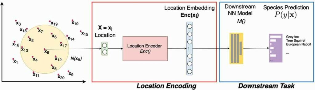
A Deep Learning Approach to User Location Privacy Protection
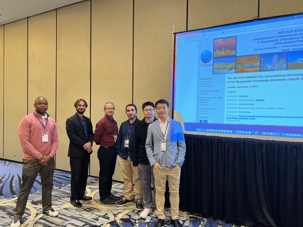
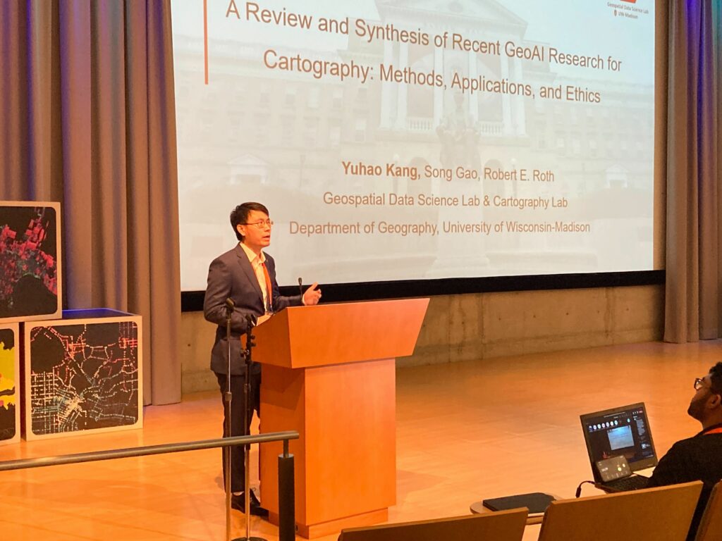
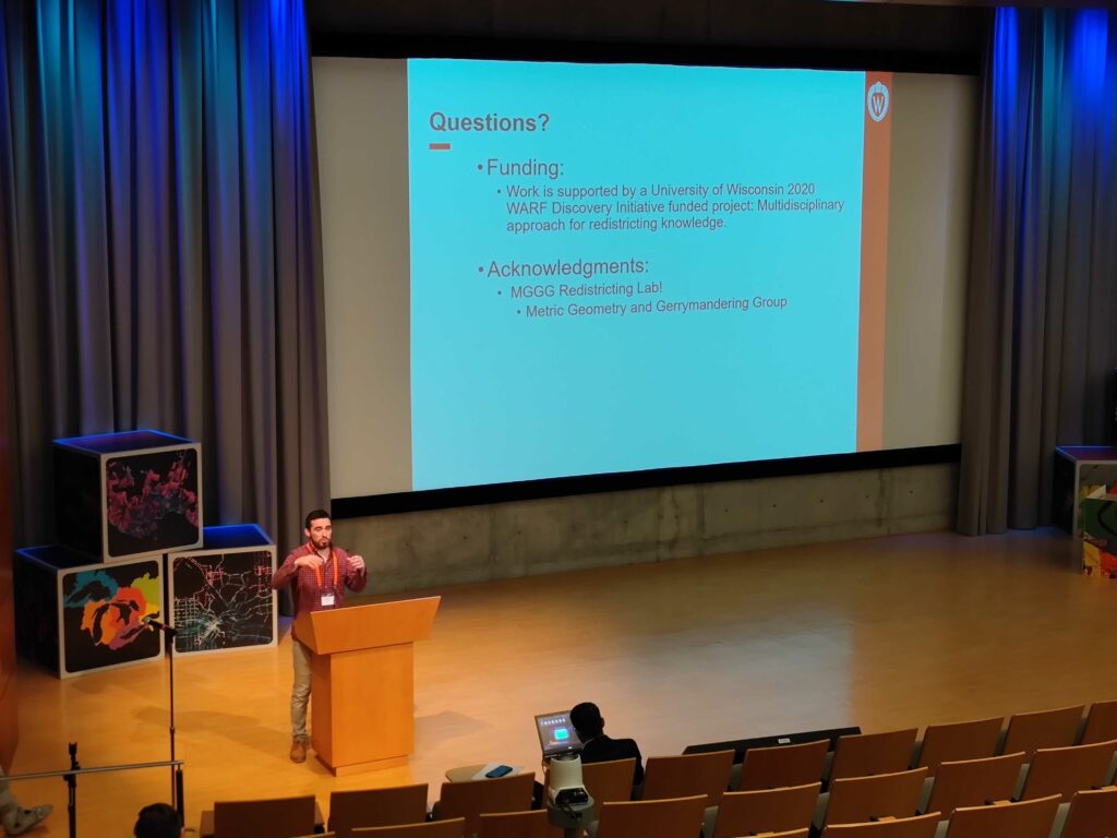
Principal Investigator: Song Gao, Assistant Professor of Geography.
Co-Principal Investigator: Jerry Zhu, Computer Sciences.

Location information is among the most sensitive data being collected by mobile apps, and users increasingly raise privacy concerns. The proposed research aims to develop a deep learning architecture that will protect users’ location privacy while keeping the capability for location-based business recommendations such as usage-based insurance (UBI).

Machine Learning Approaches for Metadata Standardization
Principal investigator: Colin Dewey, Professor of Biostatistics and Medical Informatics.
Co-Principal Investigator: Mark Craven, Biostatistics and Medical Informatics.

The need to manually standardize metadata describing records in large data sets, compiled from many sources, is a major bottleneck in both research and business. This project will develop machine learning approaches for automating metadata standardization and identifying records that would most benefit from expert human input.

Adaptive Operations Research and Data Modeling for Insurance Applications
Principal Investigator: Michael Ferris, Professor of Computer Sciences.

Insurance claims applications must be operated efficiently under normal conditions and allow for rapid reconfiguration in crisis situations. The proposed work will develop optimization models, data and solution processes to schedule resources over time, servicing normal workloads, while creating resilience to abrupt changes from random disturbances.

GAN-mixup: A New Approach to Improve Generalization in Machine Learning
Principal Investigator: Kangwook Lee, Assistant Professor of Electrical and Computer Engineering.
Co-Principal Investigator: Dimitris Papailiopoulos, Electrical and Computer Engineering.

Recent machine learning successes rely on predictive models that adapt to previously unseen data. This research will provide a new approach to improve such generalization, with provable performance guarantees.

Integer Programming for Mixture Matrix Completion
Principal Investigator: Jeff Linderoth, Professor of Industrial and Systems Engineering.
Co-Principal Investigators: Jim Luedtke, Industrial and Systems Engineering; Daniel Pimentel-Alarcon, Biostatistics and Medical Informatics.

Matrix completion, or filling in the unknown entities in a matrix, is used in applications such as recommender systems and systems for analyzing visual images. This project will apply integer programming techniques to develop algorithms for solving a mixture matrix completion problem, paving the way towards applying this method to large-scale data science problems.

Developing a State-of-the-Science Regional Weather Forecasting System
Principal Investigator: Michael Morgan, Professor of Atmospheric and Oceanic Sciences.
Co-Principal Investigator: Brett Hoover, Space Science and Engineering Center.

This project will develop a weather prediction system for American Family Insurance, run entirely in cloud computing infrastructure, that will improve the accuracy of forecasting hazards such as hail and hurricanes. The probabilistic system will also estimate the uncertainty associated with the predictability of hazardous weather.

Model Recycling: Accelerating Machine Learning by Re-using Past Completions
Principal Investigator: Shivaram Venkataraman, Assistant Professor of Computer Sciences.
Co-Principal Investigator: Dimitris Papailiopoulos, Electrical and Computer Engineering.

Training machine learning models that are used in a wide range of domains, from drug discovery to recommendation engines, takes significant time and resources. This project will automate and accelerate this process of fine-tuning by reusing and sharing past computations from prior training jobs, using a technique called model recycling.

Additionally, two projects from the first round received continued funding:

Question Asking with Differing Knowledge and Goals
Principal investigator: Joe Austerweil, Assistant Professor of Psychology.

Despite tremendous progress in machine learning, automated answers to questions are still inferior to answers from humans. This project investigates whether incorporating psycholinguistic factors that influence how people respond to language can improve automated question-answering methods.

Lightweight Natural Language and Vision Algorithms for Data Analysis
Principal investigator: Vikas Singh, Professor of Biostatistics and Medical Informatics. Collaborators: Zhanpeng Zeng, Computer Sciences; Shailesh Acharya and Glenn Fung, American Family Insurance.

Natural language processing is a form of artificial intelligence that helps computers read and understand human language. The overarching goal of this project is to accelerate the time it takes to train and test efficient, accurate natural language processing models.