If the user chooses "Utilities->3D Visualization", the program will open 3dMapper. You can use 3dMapper to view the environmental data layers and soil maps in the 3D view.
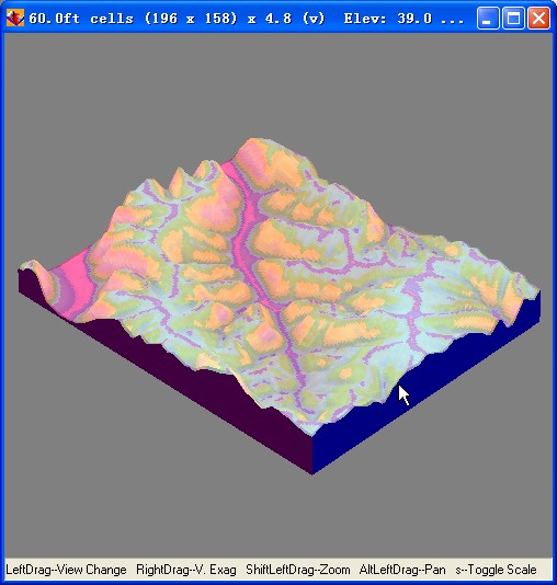
The program will read information in the registry of the operating system to locate 3dMapper. If it can not find 3dMapper, it will prompt a dialog to let users find 3dMapper by themselves.
For more information about 3dMapper, please go to: www.terrainanalytics.com