Left click "Field Samples" node in the left project panel. The interface below will show up for you to import field points.
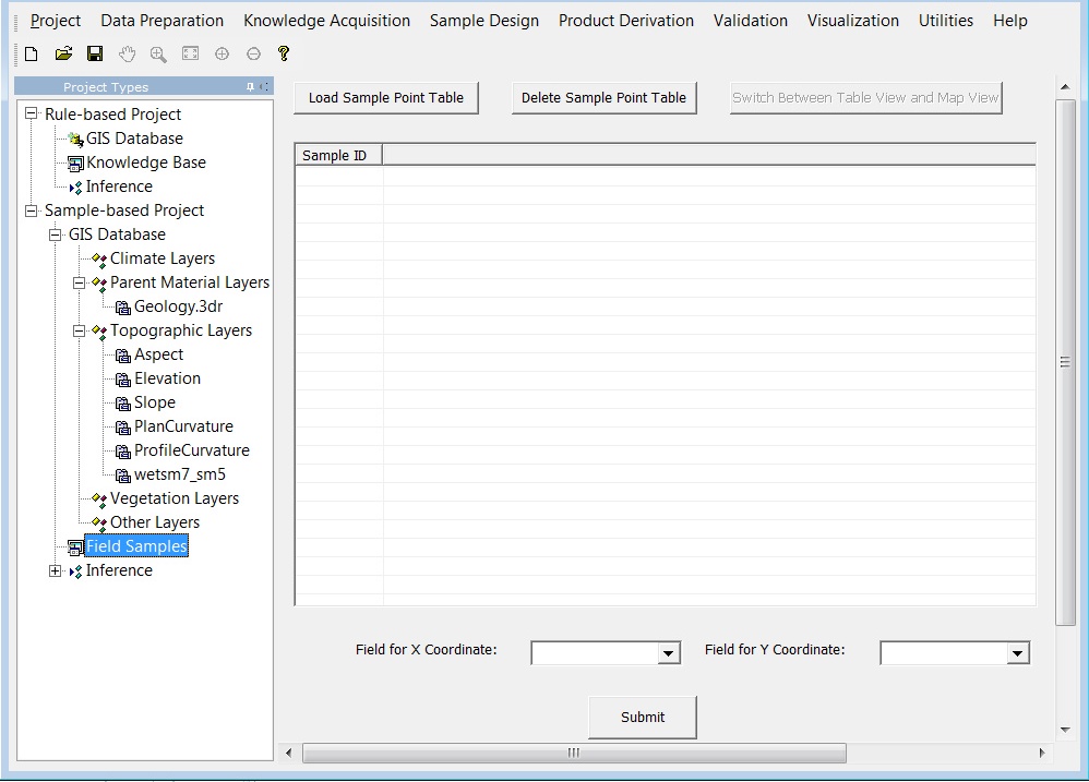
Click "Load Sample Point Table" to add the .csv file to our project.

Specify the columns that record X coordinate and Y coordinate by selecting column names from drop down list.

Click "Submit", you will see the distribution of the sample points in map view. The red points represent the field sample point in the study area. It should be noted that at least one layer need to be in the GIS Database. Otherwise, you cannot view the distribution in map view.
