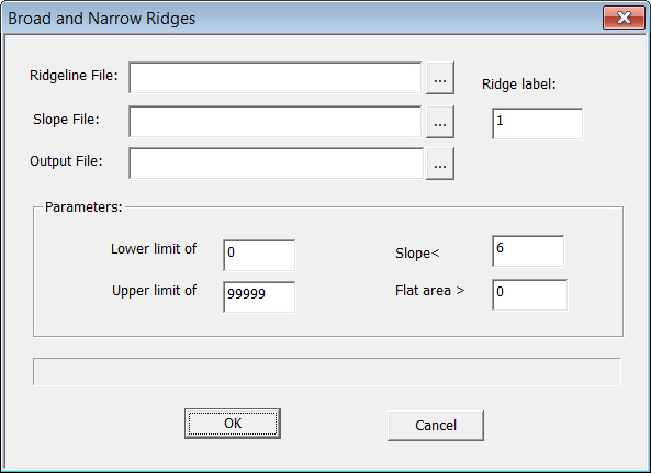
Select "Data Preparation->Terrain Positions->Broad/Narrow Ridgelines".Specify the parameters and the output file.
Output: to classify the ridgelines based on the user-defined parameters with fuzzy logic
Ridge label
The code of the ridge line.
Ridgeline file
The ridge line data of the area, which can be generated by the "Ridge Line" modular in "Data Preparation".
Slope File
The slope gradient data generated by "Surface Derivatives" modular in "Data Preparation".
Lower limit of width
The width of the ridgeline will not be less than the value.
Slope <
If the slope gradient of a point is smaller than the threshold, skip the point.
Upper limit of width
The width of the ridgeline will not be larger than this value.
Flat Area >
If the flat area of a redgeline is smaller than this threshold, skip the redgeline..