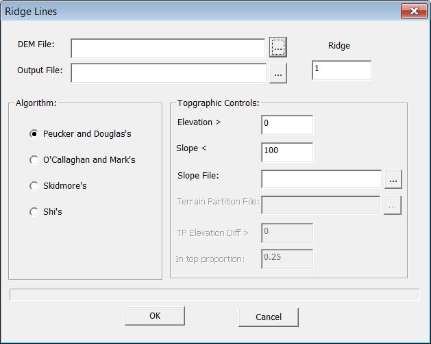
Select "Data Preparation->Terrain Positions->Ridgelines". Specify the parameters, the algorithms and the output.
Output: Ridge Lines
Ridge label
The label you want to assign to the ridge lines.
DEM file
The DEM data of the area.
Four algorithms are available: Peucker and Douglas's; O'Callaghan and Mark's; Skidmore's and Shi's. You can define the steepness of the ridge line. To filter out noise in the flat drainage way, you need to set a threshold on Elevation.
Algorithm: Peucher and Douglas's ( Peucher and Douglas, 1975)
The methods all use local analysis of the data; they are “parallel” in the sense that the results at each point do not depend on the results already obtained at other points.
Elevation >
If the elevation at a point is lower than the threshold, skip the point.
Slope Gradient >
If the slope gradient at a point is smaller than the threshold, skip the point.
Slope file
The slope gradient data of the area, which can be generated by "Surface Derivatives" modular in "Data Preparation".
Algorithm: O'Callaghan and Mark's (O'Callaghan and Mark's, 1984)
The method handles artificial pits introduced by data collection systems and extracts only the major drainage paths. Its performance appears to be consistent with the visual interpretation of drainage patterns from elevation contours.
Elevation >
If the elevation at a point is lower than the threshold, skip the point.
Slope Gradient >
If the slope gradient at a point is smaller than the threshold, skip the point.
Slope file
The slope gradient data of the area, which can be generated by "Surface Derivatives" modular in "Data Preparation".
Algorithm: Skidmore's (Skidmore, 1991)
Elevation >
If the elevation at a point is lower than the threshold, skip the point.
Slope Gradient >
If the slope gradient at a point is smaller than the threshold, skip the point.
Slope file
The slope gradient data of the area, which can be generated by "Surface Derivatives" modular in "Data Preparation".
Algorithm: Shi's
Elevation >
If the elevation at a point is lower than the threshold, skip the point.
Slope Gradient >
If the slope gradient at a point is smaller than the threshold, skip the point.
Slope file
The slope gradient data of the area, which can be generated by "Surface Derivatives" modular in "Data Preparation".
Terrain partition file
The terrain partition data of the area, which can be generated by the "Terrain Partition" modular in "Data Preparation".
TP Elevation Diff >
The minimum difference of elevation between the terrain partitions.
In top proportion
The proportion of the pixels in use in a terrain partition.