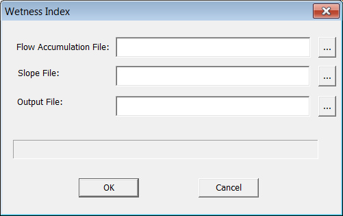
Select "Data Preparation->Wetness Index".Specify the parameters and the output file.
Output: Wetness Index(Ambroise et al., 1996)
The topographic wetness index (TWI, ln(a/tanβ)), which combines local upslope contributing area and slope, is commonly used to quantify topographic control on hydrological processes.
Flow Accumulation File
The flow accumulation (area unit) of the area.
Slope File
The slope in TAN of the area.