
The Geography Department recently welcomed the entire second grade class from Van Hise Elementary School in Madison. 65 energetic second graders visited Science Hall on a field trip to learn about maps and Cartography. Staff in the Geography Department organized a series of sessions for the students to experience a “lecture”, “lab”, and “discussion section”, in an effort to create a fun college experience for the 7 and 8 year-olds.
The Cartography Lecture taught the students about the power of maps, and invited them to share what they know about maps and how they’ve used them. Professionals in the Geography Department talked about what geographers and cartographers do, and students asked them questions about making maps.

During the “lab section” entitled Exploring Our World, the second graders visited the computer lab where they used Google Earth to find specific locations like their house, their school, or the White House. They learned about the differences between maps, aerial photography, and satellite imagery. They also used online interactive temperature and wind maps to determine the current temperature and wind speeds in different places in the United States.
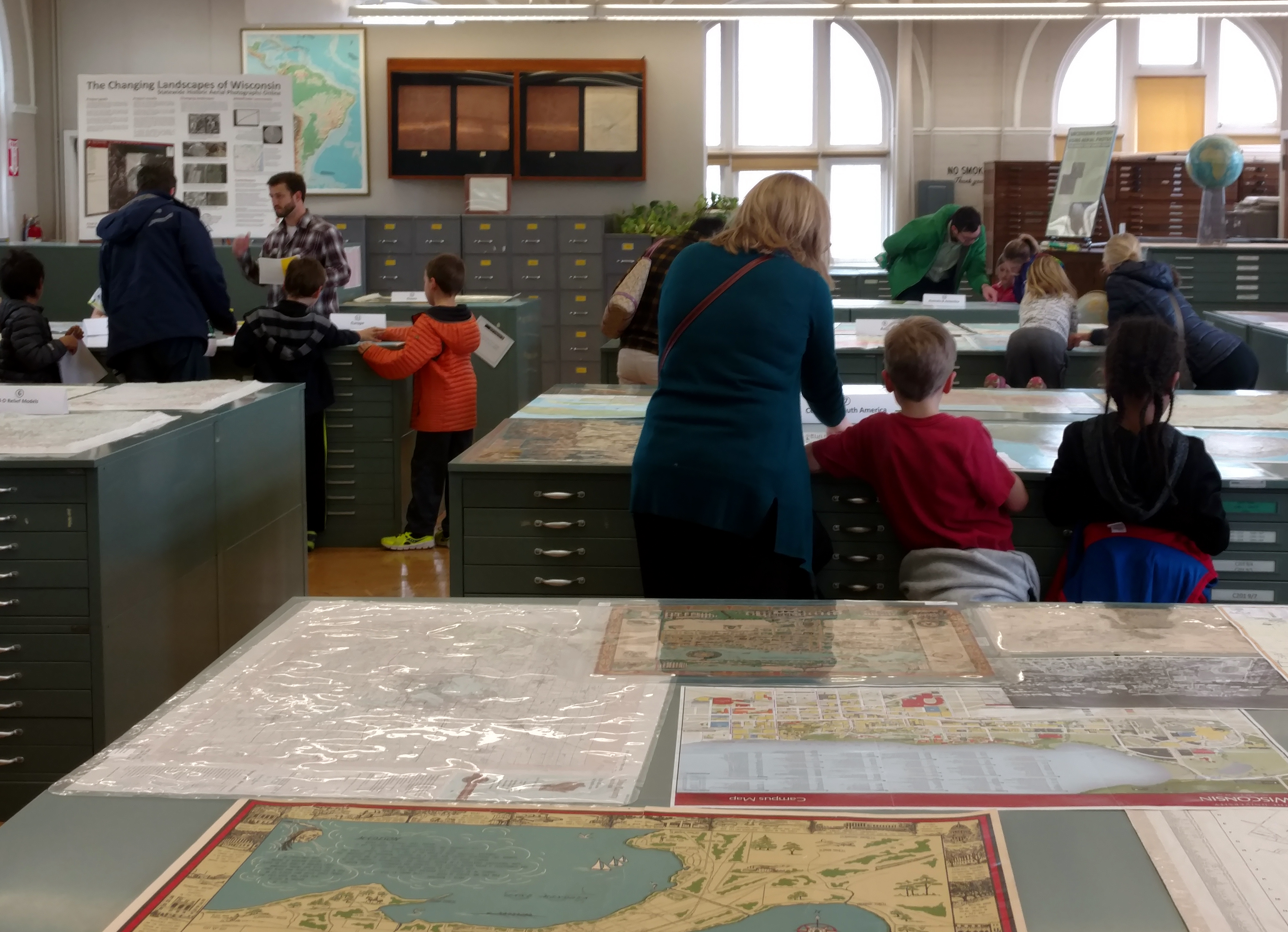
Thinking About Maps wrapped up their experience with a final “discussion section”, where they viewed a large map display in the Robinson Map Library and were asked to compare maps of places all around the world.
Having 65 second graders fill the hallways of Science Hall was a fun change of pace in the middle of a busy spring semester. We enjoyed their visit immensely, and in noticing the smiles on their faces during the activities, we were pretty sure they had a lot of fun too!


