On April 5th, from 4-6pm, the doors to Science Hall were open to the public to celebrate the history of the building, geographic research, and the art of map-making. This was part of a campus wide commemoration of UW-Madison’s 175th anniversary. With over 60 buildings and departments opening their doors, the aim of this event was to showcase the innovation and research that happens here on campus. Science Hall and the Department of Geography had the opportunity to be a part of this fantastic event.

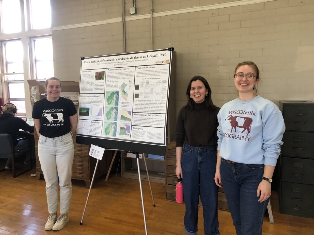
This event allowed us to showcase the wonderful research, teaching, and public service we do in Geography and to invite the public to join in. Starting on the first floor of Science Hall, graduate student Lauren Gerlowski organized and led a scavenger hunt of the building. Participants searched high and low for many objects including alumni signatures & 16 3-D relief maps. The undergraduate Geography Club welcomed people as they arrived, shared their experiences as Geography majors and sold our unique geography cow merchandise to support undergraduate activities. Moving to the second floor, visitors had much to explore. Geography graduate students from Cartography, Earth Systems, and People-Environment Geography presented research posters about their scholarship.

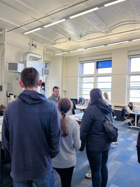
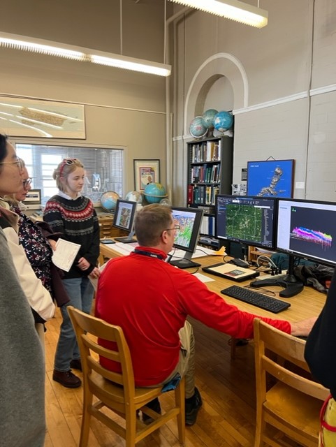
Faculty and staff in the Cart Lab showed off the new Lab space, shared map displays, and discussed the making of the commemorative 175th Anniversary Campus map. Professor Joe Mason and his team opened the Geomorphology lab and displayed cores and gave people a chance to look at sediment through a microscope, all allowing insight on Quaternary climate change analysis. Similarly, Prof Jack Williams and his team explained their core sampling and pollen analysis and projected animated maps of ecosystem change. The honey sampling was a big hit too. On the 3rd floor, the undergraduate club played geography trivia – a big hit with the ~30 children who showed up.

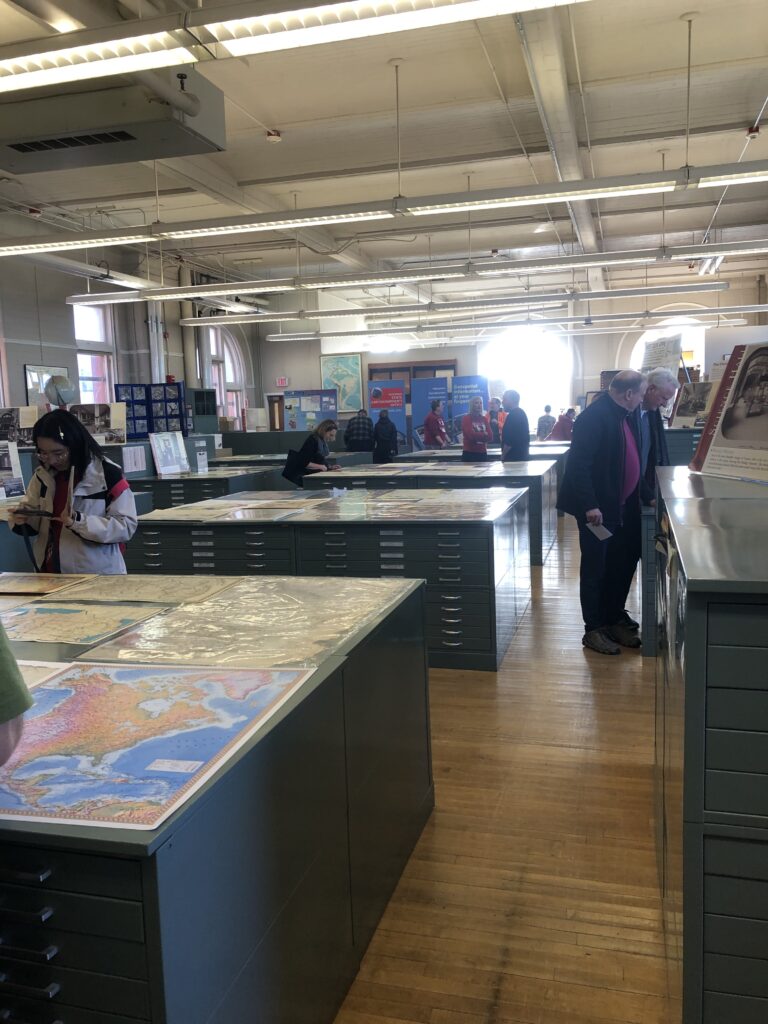
The beautiful Robinson Map Library was open and gave our visitors a chance to see a map display (curated by Map Librarian Jaime Martindale and student assistants Jack Sagers and Mason Behnke) showcasing the wide variety of materials in the collection. Also on display in the library were a series of historic aerial photographs of the UW Campus dating back to the 1930s. Mel Reusche, Steve Mauel, Caroline Rose, and Nick Rompa from the Wisconsin Geological and Natural History also participated, showing different digital and print mapping examples for visitors to interact with. One item included a new Quaternary geologic map of Wisconsin, which is set to be published before the end of 2024. Jude Leimer from the History of Cartography Project in Science Hall wrote a fun map quiz for visitors to test their map knowledge and offered a display of the printed volumes published by the project. Howard Veregin, Jim Lacy, Michael Hasinoff and Ana Wells from the State Cartographer’s Office set up a display inside the Map Library showing a wide variety of mapping applications available for the public to view and/or acquire different kinds of data and maps for Wisconsin. One interesting project that visitors were able to see online was the “Cartographic Phantoms of Wisconsin” map – where certain named places in our state no longer have a documented residential population or structures of note.

The Open House was a great success thanks to the many contributions of Geography students, staff and faculty. We were pleased with the turnout (~115 people) and the enthusiastic response of our visitors who turned Science Hall into a celebration of Geography and map-making! Frequently heard comments were “I love all the maps”; “Wow! I didn’t realize what Geographers studied!” and “Such a cool building, is it true that it’s haunted?” Thank you to all that made this event possible!


