Written by Geography Communications & Media Intern Cameron Felix
This year, I am the Vice President of UW’s undergraduate Geography Club. As a club, we talk about the importance of geography-related conferences and try to attend as many as we can. One of those conferences is the NACIS (North American Cartographic Information Society) Annual Meeting, which was in Milwaukee this year.
But I’m studying Human Geography, NOT Cartography/GIS. I didn’t know how relevant a mapping conference would be to my plans for the future.
I love the subject of geography, so I decided to attend NACIS anyway, especially because many other students were going as well. This would be the first time I’ve attended NACIS, but not the first time I’ve attended a geography-related conference; last year I attended the West Lakes AAG (American Association of Geographers) conference in Milwaukee. I learned a lot there and figured I could learn even more at NACIS.
Onward to Milwaukee!
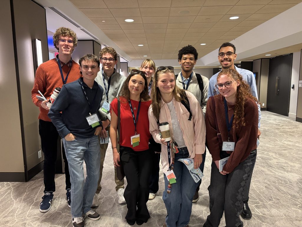
Thirteen UW–Madison students attended, including many Geography Club attendees. Since there were so many of us, we often split up to go to the presentations we found interesting. However, we often reconvened when walking to different places together (ex: lunch, dinner, the hotel). The group dynamic was very good, and I enjoyed experiencing NACIS with this specific group of people.
Although I don’t have a particular interest in physically making maps myself, I found it fascinating to listen to others who do have that passion. The presentations broke down the research and coding necessary to produce the maps, something I had never specifically seen at this level. I was exposed to a wide range of subject matter throughout the conference, but it all traced back to a very simple concept: How can such diverse subject matter all be conveyed visually through maps?
Some of my favorite presentations included:
- Getting Physical (with Data): Crocheting Central Park from Natalie Correa (UW–Madison). Correa’s enthusiasm throughout the entire presentation was infectious, and I loved learning about the process of that specific mapmaking.
- How the Thirsty Have Fallen: A Look at the Changing Colorado Craft Brewery Industry through Maps from Kristopher Kuzera (University of Denver). I didn’t know how big breweries were in Colorado specifically, and I thought this presentation was interesting in showing its distribution, as well as its recent changes.
- Visualizing the Complex World of 1493 from Brandon Plewe (BYU). I am very interested in history, and this presentation did a very cool job of combining geography and history. This presentation perhaps displayed the most interesting map in the conference. I admire the amount of research necessary to produce such an interesting map.
- The Joy of Color from Elaine Guidero & Jim Thatcher (Oregon State University). They made their presentation entertaining and captivating, and I liked how they used humor to show the contrast between colorful maps vs seemingly boring ones.
My Reflection of NACIS
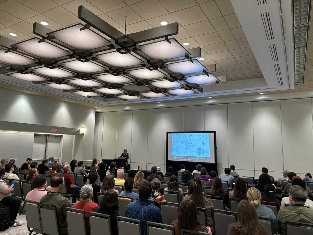
I learned so much from such a variety of people during this conference. Everyone presenting had a contagious passion for their work, and it was hard not to admire some of the creative maps that were presented.
Although I don’t see myself going into cartography as a career, this conference really opened my eyes to the many different disciplines in which cartography is applied. It was an amazing experience, and I’m happy I got to experience it with fellow map-loving UW students!