On April 16, people from across campus gathered to participate in an Introduction to Geographic Information Systems (GIS) workshop at Memorial Library. The workshop, which can be taken by students, staff, or faculty, is designed to give those with no GIS background a fundamental understanding of the technology.
Getting Hands-On Experience
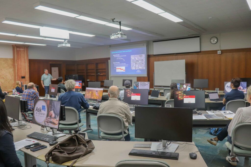
Sponsored by the State Cartographer’s Office, Robinson Map Library, and Digital Scholarship Hub at Memorial Library, the workshop is organized into two components. First, attendees learn about GIS. Then, they complete interactive, hands-on GIS exercises using ArcGIS Pro.
In the learning portion, Mike Hasinoff from the State Cartographer’s Office covers the GIS fundamentals required to begin confidently operating the technology. This includes an overview of basic definitions, as well as an introduction to the three views of GIS – the map view, database view, and spatial analysis view. He also explains 6 basic GIS operations, the purpose and function of maps, and shares additional info about GIS software and resources.
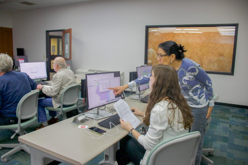
The activity portion features a hands-on exercise using ArcGIS Pro. Attendees are given a flash drive loaded with the materials to complete this activity. During this time, participants apply the knowledge learned during the lecture component of the workshop, while staff and volunteers answer any questions that come up. The immediate experience and support helps to build confidence.
“The exercises were a fun and interesting way to learn some of the many ArcGIS features and tools,” participant Brian Shore commented. Shore, who works as a payroll and benefits specialist with the Geography department, added how he learned that “there are many different ways to make maps to tell a story and analyze data.” Overall, the workshop provides a great, beginner-friendly introduction to GIS.
Looking Ahead: Future Sessions
The group hopes to host more Intro to GIS workshops in the future. If you’re interested in attending a future session, keep an eye on the Geography department website or sign up for SCO’s weekly news alerts.


