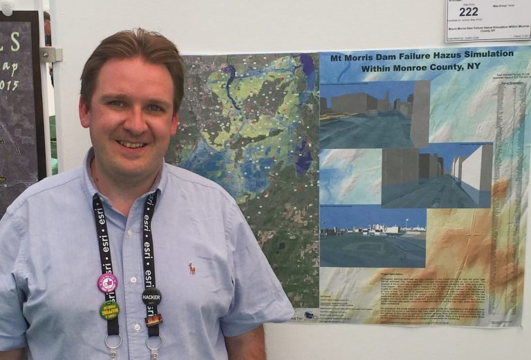
How did you initially become interested in GIS and geospatial technologies more generally?
My initial project was a joint-funded research project with Rochester Institute of Technology (RIT) and Monroe County (NY), mapping wetlands within the Lake Ontario Basin. I joined the project and was selected to work part of the time on the project and part of the time as an intern for Monroe County. This was great because I was exposed not only to the academic side of GIS but also how government used it. Everything just kind of clicked for me and I loved the problem-solving that GIS had to offer.
What path led you to become a faculty member at UW-Madison?
I have always loved teaching GIS. When I worked in County government, I had a 2-day GIS class for municipal workers. I found that I loved teaching which branched out into adjuncting for more local colleges, which then evolved into online teaching. UW-Madison’s online program is a great fit for my background.
Could you describe your area of expertise a bit?
Working in government and the consulting worlds, I developed strong problem-solving skills. I was also able to communicate with non-GIS people. So, from that, I gained a lot of expertise in researching a problem and finding a GIS solution for it. Outside of some of the work solutions, I am always exploring what is new and what can be done with GIS and different data sets. I enjoy exploring remote sensing and different capture platforms ranging from satellites to UAVs. One of my main areas of study also has been understanding and modeling the lake level fluctuations of the Great Lakes, with an emphasis on Lake Ontario. Lately, I have been exploring the use of 3D printing with GIS to create maps for the visually impaired.
What is the future of GIS?
The future of GIS is one where more GIS tools are in the hands of non-GIS Professionals, but those tools are run and created by GIS Professionals. This is starting with the advent of Web GIS tools and the integration of these tools into products such as Excel, PowerPoint, and Illustrator. These tools are only partially useful, so GIS professionals still need to push the boundaries of what can be done and keep improving their abilities. There are also new technologies that are coming into play with GIS such as augmented reality, virtual reality, and 3D printing with who knows what else is in the future, so always keep looking forward and experiment with anything you can to see what you can do.
What do you think today’s students could learn in their classes that will help their futures?
The biggest thing that I have learned and want my students to learn is to be open to expanding beyond their scope of knowledge to better communicate with non-GIS practitioners to explore their needs, and to think of projects holistically. An example is my background in environmental science never fully prepared me into going to emergency management or working with boards of elections. So, when those projects and calls for help came, I spent time, outside of work, learning about the processes and challenges, not to become an expert in each of the areas, but to be able to talk confidently and be able to add meaningful GIS solutions to their projects.
If you could go back in time, what is one piece of advice you’d tell yourself?
The thing that I would tell myself as a student is not to over-specialize in a single aspect, increasing skills adaptability to many areas. I would also to take more programming and database classes. And lastly, remember that everything is constantly evolving so the computer languages you learn in school may not be the ones you are working with down the road.