Which program did you participate in and when?
I joined the Advanced GIS Certificate program in Fall 2019, after which I joined the MS in Cartography and GIS (Development Option) program the following year.
Current job?
I’m currently a GIS Developer with Ecolab’s GIS Center of Excellence. Next month, I’ll be starting as a Senior GIS Developer for our Platform team. I primarily work on geospatial data projects related to large-scale fleet management solutions, such as engineering data pipelines and leveraging geospatial data science tools to generate data-driven insights.
Could you tell us a little bit about your education and career path?
How long do you have? I’ll keep it short. I started and ended my college career more than once over the span of… let’s say some time. I went back for the third and final time in Fall 2018, and finished a BS in Geography at the University of Minnesota-Twin Cities the following Spring. My senior project focused on political ecology and electronic waste, which are themes that I continued to examine during my graduate program at UW-Madison with GISPP.
Prior to starting my career as a GIS Developer with Ecolab in October 2021, I spent a decade working for Apple Retail in a variety of sales, leadership, and technical support roles.
In what ways did your experience with GISPP prepare you for/ enhance your career?
GISPP prepared me for my career as a GIS Developer in so many ways. I feel like the program provided me with a foundational grounding in principles of geospatial programming, and I utilize core coursework concepts around database design and architecture in all my work. Furthermore, the cartographic content, UI/UX focus, and practical projects helped me shape a cohesive understanding of full-stack solutions which can deliver outstanding map products.
What advice would you give current students?
You will learn more from yourself than anything else during this program.
Prioritize learning how to read documentation.
If you’re stuck, start with the documentation before looking online.
If you find a solution online, rewrite it into your code instead of copy-pasting.
It’s very rare that you come across a dataset which on its own can create an interesting, engaging, and informative map.
Always look for ways to generate novel datasets, either through cross-integration or transformation (or both!)
Simple is way harder than complex.
Beware complex and seemingly easy things.
Is there anything else you’d like to share with program staff or prospective students about your experience?
Maps are powerful tools with the ability to inform and persuade. Always take care with the ways in which your maps can be interpreted. This usually requires seeking outside perspective. I challenge you to make maps that empower and inspire.
Favorite memory of GISPP?
I think my favorite memory was actually a tremendous struggle that occurred during a 572 project. I was working on joining a census dataset and ended up buried deep in Excel for hours because it all turned into a huge mess. I wasn’t as proficient with coding at this point, and I didn’t have a clear idea of how to complete this task in Python when I started, but when I looked back at the time I spent failing in Excel I felt like I could have applied that towards improving my programming skills instead.
I ended up pushing through on that one, but after that point I really committed to leveraging code as the primary tool for all my projects. This experience allowed me to be much more comfortable with hitting a wall or struggling to move forward with a code design or problem, because I understood that the time and frustration were allowing me the opportunity to gain a new skill to leverage towards future problems.
What do you like to do for fun?
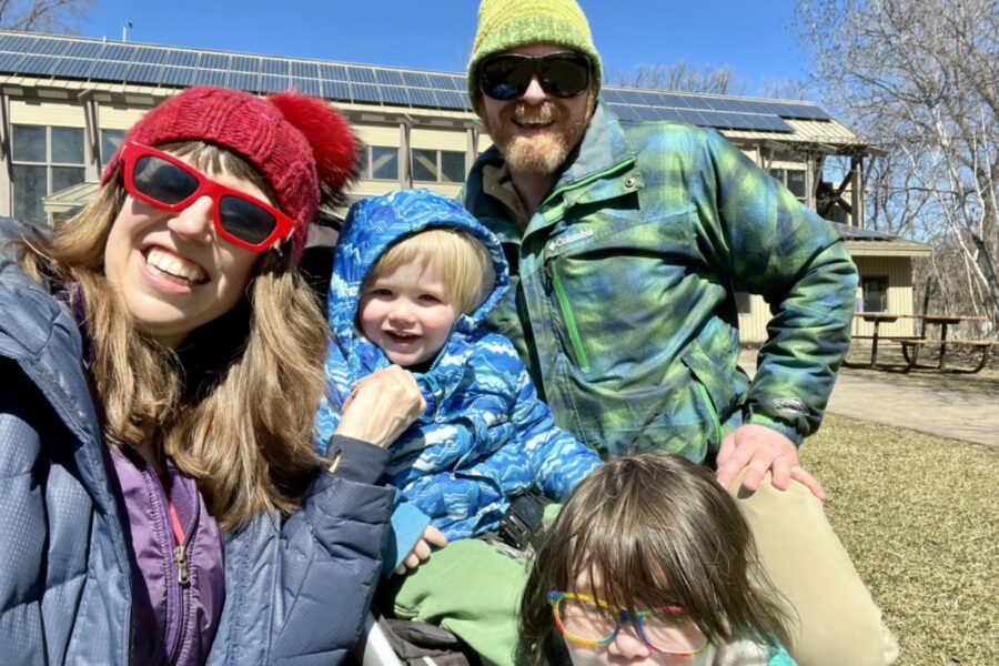
My partner and I raise our two children in Eden Prairie, MN, and I have fun when they’re having fun! We spend time outdoors at playgrounds, biking, drawing with chalk, driving RC cars, etc., as well as taking outings to museums and other activities. My daughter is 5 and she loves science and reading, so we spend lots of time learning about cool stuff– ask her about the xenosmilus if you get the chance. Outside of family activities, I sometimes I get the chance to play the guitar or a strategy game.

GIS 778 Final Project Practicum: Eden Prairie Playgrounds
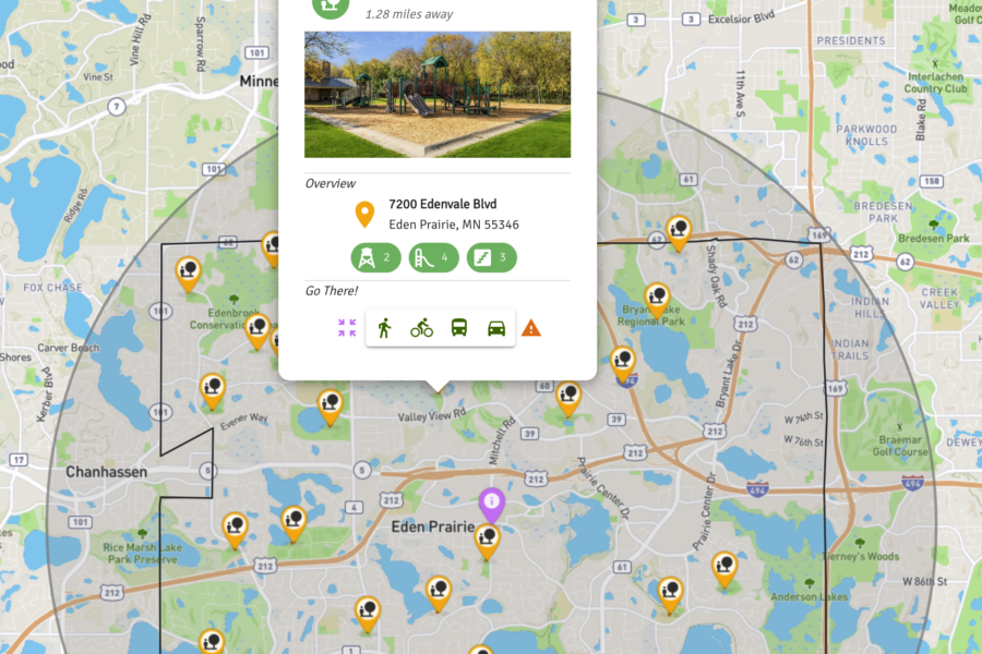
For my final project, I developed an app which allows users to locate and explore all 29 public playgrounds in my community of Eden Prairie, MN. Users can search by distance from a location or point in the city, as well as attributes like playground equipment, amenities and nearby sports facilities. To gather these data, my family and I visited all of the playgrounds, which made this project fun and rewarding!