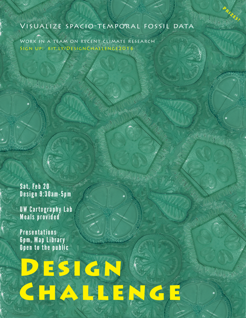
February 20th, 9am – 5pm, Cartography Lab, Science Hall
For this second annual Design Challenge, students will work on generating new insight from the fossil record in North America; developing unique visualizations to facilitate communication of trends in multidimensional spatio-temporal data. The event is open to all who have taken Geography 370. We strongly encourage you to attend even if you’re not in the physical geography or Cart/GIS subareas, or don’t know what multidimensional spatio-temporal data even is!
Lunch, snacks, and prizes will be provided.
Participants will present their work will at 5:30 in the Map Library, so plan to stick around Science Hall until 7pm. All welcome to attend this session!
You will leave the day with a piece that looks great in your portfolio, and new connections with people in the department.


