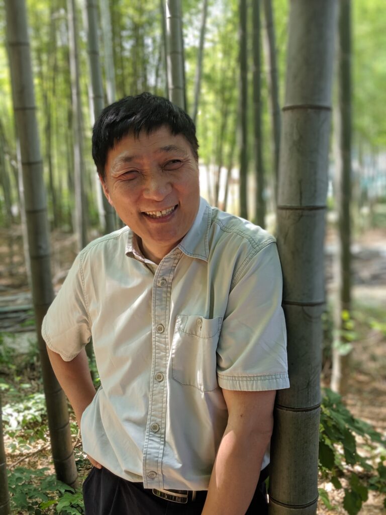
For the profile this month, we were super excited to sit down with Professor A-Xing Zhu; a long-time faculty member here at UW-Madison and the Editor-in-Chief of Annals of GIS.
1. How many years have you been with the department?
I came to Madison in December 1995, and started my faculty position in January 1996. So, I have been here for over 28 years.
2. Talk a bit about how you got to where you are in the department and field of geography today?
The truth is that I did not like the field of geography when I was a student in both middle and high schools. I thought Geography was a discipline of memorizing names of places and locations of mineral deposits. I was (and still am) terrible with tasks that require memorization!
But how did I end up in geography then? To answer this, I have to start from when I was admitted to college. In China, one has to take the college entrance exam to compete for college education. At that time this exam was made up of five parts each lasting for one half day. Students whose scores were above the cut-off value qualified to go to college. I was one of the lucky ones because at that time only 4 out of the 100 students who took that exam could enter college!
I applied to several universities for admission after passing the entrance exam. One of them was Beijing Normal University (BNU) (a top-notch university in China for training teachers, the term “Normal” in the name means “model”, “exemplary”, suggesting that teachers should be exemplary for students). I was lucky again to be admitted to BNU, but my admission letter said that I was admitted to the Department of Geography to which I did not apply at all. What I applied to were Physics and Chemistry. In Chinese, the words for Geography and Physics are very similar (地理 vs. 物理), that is, only the first letters are different. I thought that I must have been admitted to Physics but the person who typed my admission letter mistakenly typed Geography instead of Physics. On September 1, 1979, I happily arrived on the campus of BNU to register as a new student. At that time, registration was done manually and by each department. At that moment, I wondered where to start, Physics or Geography. To be conservative (or to avoid potential embarrassment), I went over to the Geography registration desk hoping I would be told that there was a mistake and that I should go to the Physics registration desk. To my great disappointment, they quickly located my name on the list of new students. I was so saddened by this that I didn’t even notice the warmth extended to me. That’s how I became a Geographer!
It is easy to explain why I wanted to be a faculty member. Ever since I was very small, I wanted to be a scholar because the people in my hometown (a very rural area in China) respected scholars greatly. During my years of education from elementary school to graduate school, this desire never changed.
Ending up here was much related to the efforts by a dear colleague of mine from this department, Professor Jim Burt, a great gentleman and mentor, who retired a few years ago. I met Jim in Spring of 1994 in San Francisco during the annual meeting of Association of American Geographers (now changed to American Association of Geographers, the acronym is still AAG). Then I had just finished up my Ph.D. thesis defense and had one faculty offer in hand. While we were talking, Jim said we (UW-Madison Geography) would be hiring next year (1995) and he would really hope that I apply. At the time, I thought he was being kind to me. In the winter of 1994, Jim did contact me and invited me to apply for the position UW-Madison had opened. So luckily, I ended up in Madison at the end of 1995 and have been here since then.
3. What project or research are you currently working on?
My research area is GIS, artificial intelligence, fuzzy set, spatial data mining, environmental modeling, easy geocomputing (intelligent geocomputing), and their application in natural resource inventory. All of these fancy terms can be summarized into three major research directions: 1) spatial prediction, 2) watershed modeling and scenario analysis, and 3) intelligent geocomputing. On spatial prediction, I am developing geospatial techniques to quantify geographic variation over space accurately and effectively. On watershed modeling and scenario analysis, I am working with my colleagues to develop spatially enabled modeling techniques to assess the economic as well as the environmental benefits of land use policies. On intelligent geocomputing, I am working with my students in developing spatial parallel computing and artificial intelligence techniques to address the computing challenges facing geographers due to the data intensive and computation intensive nature of geographic modeling.
Recently, I have been focusing my research efforts on theoretical conceptualization, referred to as the geographic similarity principle or the Third Law of Geography. The essence of this principle is to promote the idea that the outcome from a geographic process at a known location can be used to assess the outcomes of the same process at unknown locations with similar geographic configurations, that is “the more similar the geographic configurations at two locations, the more similar the outcomes of a geographic process at these locations”. This principle has two important implications: the emphasis on geographic configuration and the focus on the unique presentation of individual samples (examples) in geographic analysis which currently is dominated by statistical analysis based on the average concept. For more information on this principle, a google search on the Third Law of Geography should come up with some references.
4. What classes are you currently instructing?
I am currently teaching three courses: Geography 377: Introduction to GIS, Geography 578: GIS applications, and Geography 579: GIS and Spatial Analysis.
377 provides students with a basic understanding of GIS in lecture (the basic theories, concepts, and methods used in GIS) as well as practical training in applying GIS tools through the lab components.
578 shows students how one can use GIS concepts and methods in solving geographic problems they face in the real world. The focus of this class is on the process of how to conceive the real-world problem and make it a geographic problem (spatial problem) which can then be solved using GIS.
579 allows students to take a closer look at the methods/techniques which drive the spatial analytical ability of GIS. The focus of this class is on the understanding of the concepts and assumptions underlying these methods, and the advantages and limitations of these spatial analytical methods so that students can make informed use of these powerful analytical methods.
5. What project, class, or research that you have worked on have you been most proud of?
From the research side, I am most proud of the following projects. The first is the SoLIM project (with Prof. Jim Burt), which is the system for mapping soils accurately, quickly, and inexpensively. This work was selected by the University Consortium of Geographic Information Science (UCGIS) as an example on the role of geographic information science and technology in meeting the nation’s scientific, economic, and social needs and was showcased at a congressional briefing in 2003.
The other project is the geographic similarity principle (or the Third Law of Geography) I am currently working on with several colleagues of mine. This principle could offer a very different perspective in geographic analysis from the current statistical average model.
On the teaching side, I am very proud that I was able to work with my colleagues (Jim Burt, Robert Roth, Qunying Huang and Song Gao) in creating the professional master’s in GIS. This program not only created revenue that supports the department’s teaching and research missions, but more importantly provided the trainees the opportunities to learn the new computing technologies and to sharpen their technical skills needed during this cloud computing and big data era.
6. What fellow geographers do you draw your inspiration and motivation from?
I treasure my experience in working with all of my colleagues in and out of this department. I was always impressed and inspired by the working ethics of Professor Yi-Fu Tuan. Most people knew the creativity of Yi-Fu’s work, but perhaps they’re unaware of how hard he worked. I had several opportunities to closely observe his hard work, which I was moved by.
7. If you could sit in on any course within the geography department what course would you be most interested in attending and why?
Actually, on my own initiative I did take the time to sit on several courses outside of Cart/GIS in this department. I did this for two major reasons: 1) to appreciate the breadth and the differences of the subjects in the field of geography (no place is better for this than this department!); and 2) how my colleagues teach their classes. The courses I sat on in the past are Jim Knox’s field course Geog 325, Yi-Fu Tuan’s human geography course 501, and Geog 339 taught by Professor Lisa Naughton and Professor Matt Turner.


