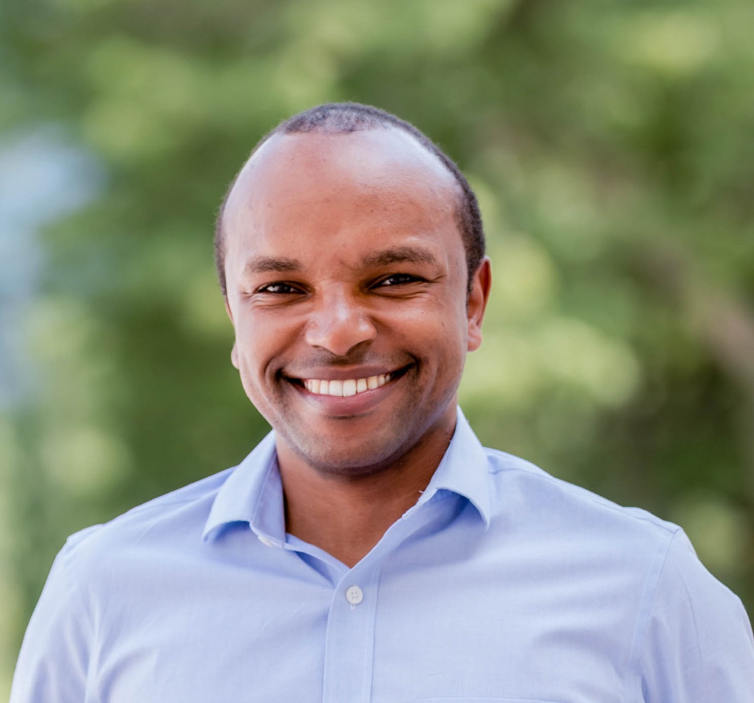
Associate Professor Kevin Mwenda
Brown University
Beyond Maps: Integrating Place and Space for Community Resilience
Geospatial analyses can be valuable in identifying potential drivers of changing vulnerability outcomes across various regions. However, more work is needed to incorporate the place-based perspectives of people living in vulnerable areas, such as livelihoods and other lived experiences from individuals, households, and communities. How can we model vulnerability outcomes with a spatial lens while also acknowledging people’s ‘sense of place’? This talk will provide examples of collaborative research that aims to integrate platial perspectives to mitigate spatial uncertainty. In doing so, it will explore how household surveys and community-level interviews, combined with high-resolution imagery, can be used to identify ‘hot’ spots of vulnerability within communities and even reveal ‘bright’ spots of resilience.