
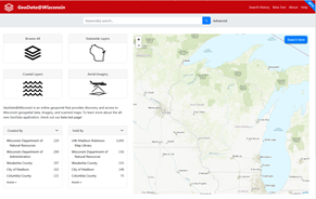
GeoData@Wisconsin
Download geospatial data layers, aerial imagery, and scanned maps for Wisconsin.
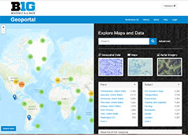
Big Ten Geoportal
Download geospatial data layers, aerial imagery, and scanned maps from Big Ten institutions (including UW-Madison)

Historic Aerial Photography
The library is home to the largest collection of historic aerial photographs of Wisconsin, with over 260,000 images in the archive.