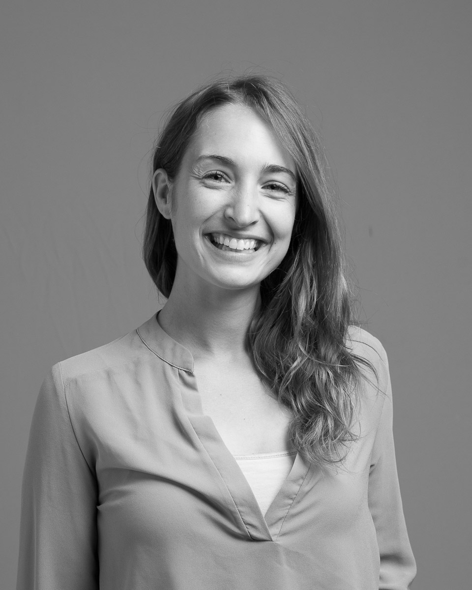
We’re excited to announce we’ll be posting informative and fun profiles of our amazing students, both past and current, about twice a month. Carly Mertes, who completed the GIS Certificate in 2011, was kind enough to answer a few interview questions from us for our first student profile. Enjoy!

Carly Mertes
How did you initially become interested in GIS, and geospatial technologies more generally, and what led you to pursue the GIS Certificate?
I was a real generalist during my undergrad. I was a (People-Environment) Geography major, and one of the reasons I ended up there is due to the interdisciplinary nature of geography. You can study everything from social theory to geomorphology to environmental modeling, and I was interested in all of it. I first began to think about geospatial science as a specialization when I studied abroad in Australia my junior year and took a GIS/Remote Sensing class. It was new and challenging, and the technologies clearly had potential to support research in many of the application areas I was learning about back at UW.
Could you describe your independent capstone project a bit?
During the program, I worked as a GIS/Remote Sensing analyst in Annemarie Schneider’s research lab on a NASA-funded project that involved mapping urban expansion (i.e. the physical expansion of cities). I built off of my work for my Capstone. My project focused on a methodology utilizing time-series Landsat data and machine learning algorithms to map land cover change in the vicinity of Tianjin in China. It was great opportunity because not only was I able to receive credit for a project I was interested and invested in, but in conducting the analysis and writing the report, I was driven to forge a deep understanding of the technical aspects of the project and to translate the work into real-world conclusions. This definitely played a part in pushing me into my career path.
What are you doing now, and does that work at all draw on knowledge and skills you gained while a Certificate student?
I completed the Cart/GIS Master’s program at UW-Madison in 2014, focusing on remote sensing, image processing, and urban studies. After graduate school, I took a project position with the Wisconsin State Cartographer’s Office to lead up the technical work for the Wiscland project, mapping land cover for the state of Wisconsin. I’m now an Applied Scientist with Descartes Labs, a geospatial start-up out of northern New Mexico. We work to aggregate and inter-calibrate geospatial data (especially satellite data) for global-scale applications. On my team, we use those data and our cloud computing infrastructure to develop predictive models to help businesses trade, manage supply chains, or gain other insights into the space in which they operate. Each step in my career has built upon my previous experiences and professional contacts, really tracing back to the Certificate program. The program laid the foundation of knowledge, and importantly, my appetite for geospatial science. The breadth of specializations, technologies, and application areas within geospatial science is vast, and the Certificate program was integral in exposing me to those opportunities and cultivating the excitement to carry on expanding my knowledge and skill sets in the field.