The UW Science Expeditions campus open house event was held over the weekend of April 14-16, 2023. It featured activities and open houses across campus — including at Science Hall on Friday, April 14th. Staff from the UW Department of Geography and the Wisconsin Geological and Natural History Survey (WGNHS) collaborated to offer several engaging activities and resources for visitors.
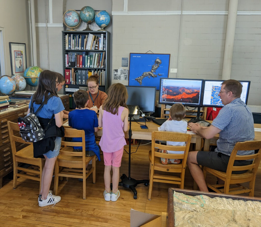
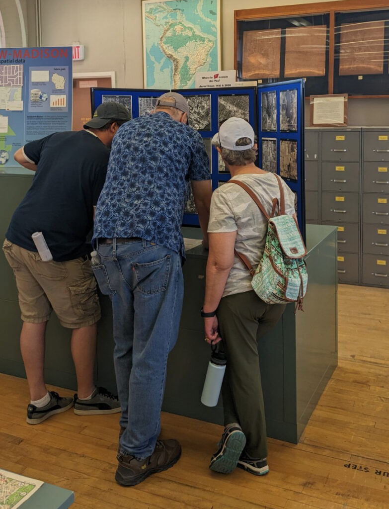
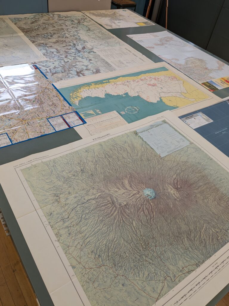
The Arthur H. Robinson Map Library was the host location for the event within Science Hall. Visitors were invited to view a large cartographic display showcasing a variety of maps and historic aerial photos illustrating the depth and breadth of research collections held in the library. Event attendees were challenged with trying to identify a series of aerial photos of Wisconsin showing historic and present-day views of different locations around the state.
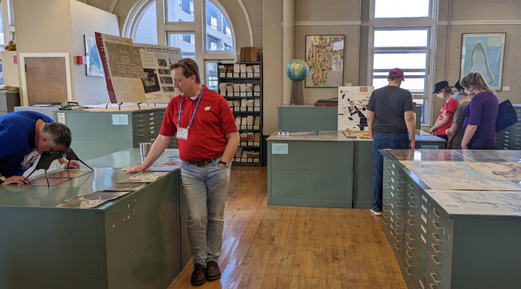
Staff Cartographers and GIS Specialists from the WGNHS including Carsyn Ames, Steve Mauel, Matt Rehwald, Nick Rompa, and Caroline Rose demonstrated both print and digital geologic mapping techniques and showcased a map display of detailed geological features in Wisconsin. One visitor was curious about the Niagra Escarpment and was able to learn more about it from Nick Rompa of the WGNHS – while viewing maps of the region in Wisconsin and the United States. Younger visitors had fun trying to create geologic features and topography shown on the maps with Play-Doh!
Jim Lacy from the State Cartographer’s Office showed people how to use stereoscopes to view aerial photos in 3-D. Many people were able to adjust their sights through the special viewer to see the towering height of Rib Mountain pop out on the landscape in photos of Marathon County.
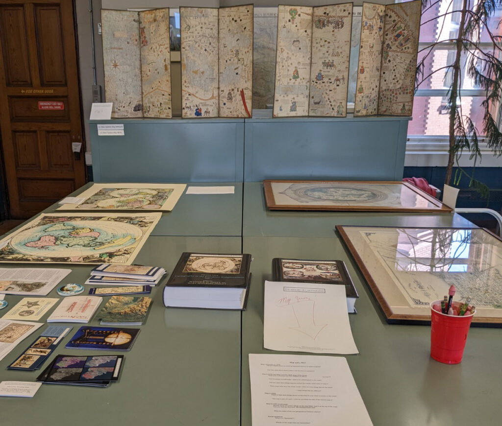
Jude Leimer from the History of Cartography Project created a fun ‘map quiz’ that highlighted some remarkable examples of historic maps and atlases, like the Catalan Atlas of 1375 and a map of Madison, WI from 1904. Visitors also had a chance to learn more about how the world was mapped as they tried to determine the size, shape, and placement of the world’s continents on historic maps with varying projections.
Thank you to all the event volunteers for making the 2023 UW Science Expeditions Open House a resounding success! Staff in the UW Department of Geography always have fun organizing and hosting this event. We enjoy providing an opportunity for the public to experience some of the beautiful spaces in historic Science Hall.