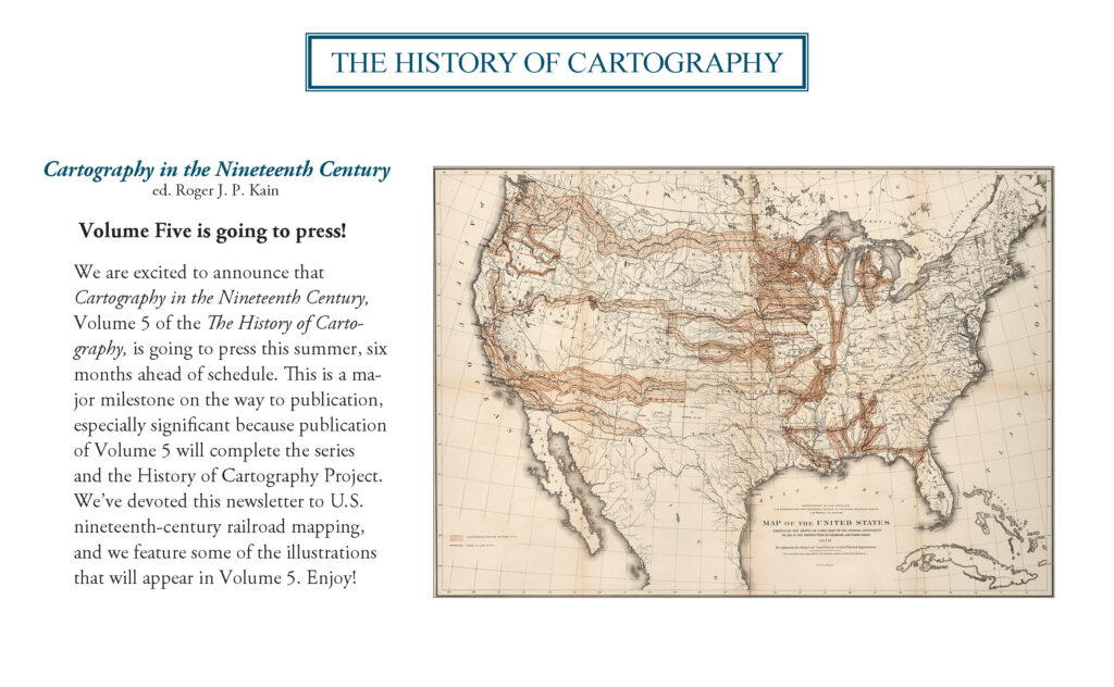
Follow these links to learn more about nineteenth-century railroad mapping and the process of creating Cartography in the Nineteenth Century, ed. Roger J. P. Kain, Volume Five of The History of Cartography. Select the title or corresponding map or image to read these companion articles to our 2024 outreach letter.
Please consider contributing your support to the international effort that is the History of Cartography Project – click “Make A Gift” at right to donate online!
(Click on the maps or essay titles.)
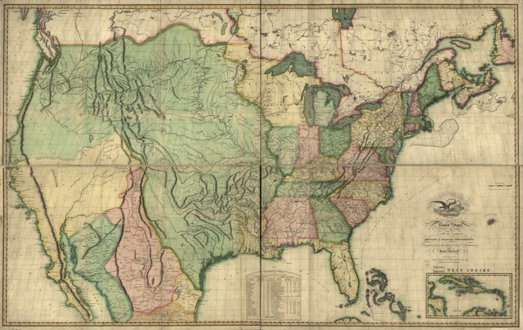
• The Iron Road of Progress — Read project director Matthew Edney’s essay on railroads and mapping in the nineteenth century through the lens of their cultural significance for the United States. (John Melish, Map of the United States, appears in the essay and in Volume Five.)
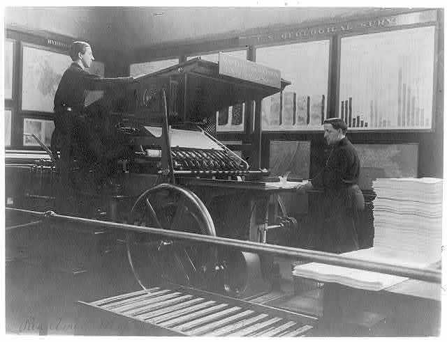
• What Does it Mean to Send Volume Five to Press? — Learn about the publication process for Volume Five, The History of Cartography, which is different from most academic books due to its massive size and complexity. Image of map printing press at U.S. Geol. Survey is c. 1900.
• The Road to Publication — Take a four-step walk through what we’ve accomplished with Volume Five and where we’re going, from editorial preparation (complete!), manuscript submission (July 2025!), volume production (“at press”), and onward toward publication (2027!).


