Video Library
Featuring original content about Enlightenment cartography and recordings of lectures and presentations that are too good to miss. New videos will be added periodically. Look for updates on our Facebook page and YouTube channel.
-

The History of Cartography Project is excited to introduce The History of Cartography in the European Enlightenment.
- To purchase the volume, visit https://press.uchicago.edu/ucp/books/book/chicago/H/bo4149971.html
- To learn more about the Project, visit https://geography.wisc.edu/histcart/
- To support the Project, visit https://supportuw.org/giveto/histcart
The History of Cartography, Volume Four: Cartography in the European Enlightenment Book Trailer -

Dr. Mary Pedley is Assistant Curator of Maps at the William L. Clements Library, University of Michigan
View the "Planisphere terrestre" in the Clements Library Image Bank.
Testing and Tracking: How Maps Visualize Science -

How did Europeans map the world between 1650 and 1800? Cartography in the European Enlightenment, Volume Four of The History of Cartography, offers a new perspective on the history of the world map and its many variations.
- To purchase the volume, visit https://press.uchicago.edu/ucp/books/book/chicago/H/bo4149971.html
- To learn more about the Project, visit https://geography.wisc.edu/histcart/
- To support the Project, visit https://supportuw.org/giveto/histcart
World Maps in the European Enlightenment -

Volume Four editors Matthew Edney and Mary Pedley address the Chicago Map Society. They discuss the importance of the History of Cartography series, the making of Volume Four, and the meaning of cartography and mapmaking in the European Enlightenment.
The History of Cartography at the Chicago Map Society -

Dr. Matthew H. Edney, Osher Professor in the History of Cartography at the University of Southern Maine and Director of the History of Cartography Project at the University of Wisconsin–Madison
Washington Map Society, January 5, 2021
This talk features maps from an exhibit at the Osher Map Library, University of Southern Maine. You can view the exhibit at https://oshermaps.org/exhibitions/maine-bicentennial
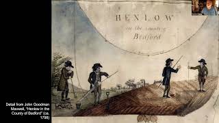
Mapping Maine: The Land and Its Peoples, 1677–1842 -

Matthew Edney presents the Yi-Fu Tuan lecture in the Department of Geography, University of Wisconsin–Madison. He discusses how the concept of cartography began and looks at different approaches to mapmaking.
April 23, 2021
Mapping Before, and Without, Cartography -

Dr. Matthew Edney • April 21, 2021
Wednesday Nite @ The Lab, University of Wisconsin–Madison
What’s a Portrait Doing on this Map? Reinterpreting Captain John Smith and His Map of New England -

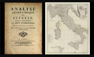
One of the most prominent mapmakers in the European Enlightenment was Jean-Baptiste Bourguignon d'Anville. Learn more about his approach to mapmaking, known as critical or positive geography, as explored by Cartography in the European Enlightenment, Volume 4 of The History of Cartography.
- To purchase the volume, visit https://press.uchicago.edu/ucp/books/book/chicago/H/bo4149971.html
- To learn more about the Project, visit https://geography.wisc.edu/histcart/
- To support the Project, visit https://supportuw.org/giveto/histcart
Positive Geography in the European Enlightenment -

The Oxford Series in Cartography presents Map Readings: Cartography: The Ideal and Its History
Matthew Edney (University of Southern Maine / History of Cartography Project) in conversation with Elizabeth Baigent (School of Geography and the Environment, University of Oxford)
Map Readings: Matthew Edney's Cartography: The Ideal and Its History
Additional Videos

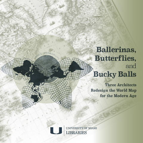
Ballerinas, Butterflies, and Bucky Balls: Three Architects Redesign the World Map for the Modern Age (Conversations on Cartography Series)
Featuring Matthew H. Edney, Osher Professor in the History of Cartography, University of Southern Maine, and director of the History of Cartography Project, University of Wisconsin–Madison; with Arthur Dunkelman, curator, Jay I. Kislak Collection. Click here to watch on the University of Miami Libraries website.
