
Follow these links to learn more about topographical mapping across the eighteenth, nineteenth, and twentieth centuries, a chronological spread enabled by Cartography in the Nineteenth Century, ed. Roger J. P. Kain and Judith A. Leimer, Volume Five of The History of Cartography. Select the title or corresponding map or image to read these companion articles to our 2025 outreach letter.
Please consider contributing your support to the international effort that is the History of Cartography Project – click “Make A Gift” at right to donate online!
(Click on the maps or essay titles.)
• The National Topographical Surveys and “Cartography” — Read project director Matthew Edney’s essay on the emergence and spread of systematic national surveys through the nineteenth century, some of their problems, and their importance for the very idea of “cartography.” 1
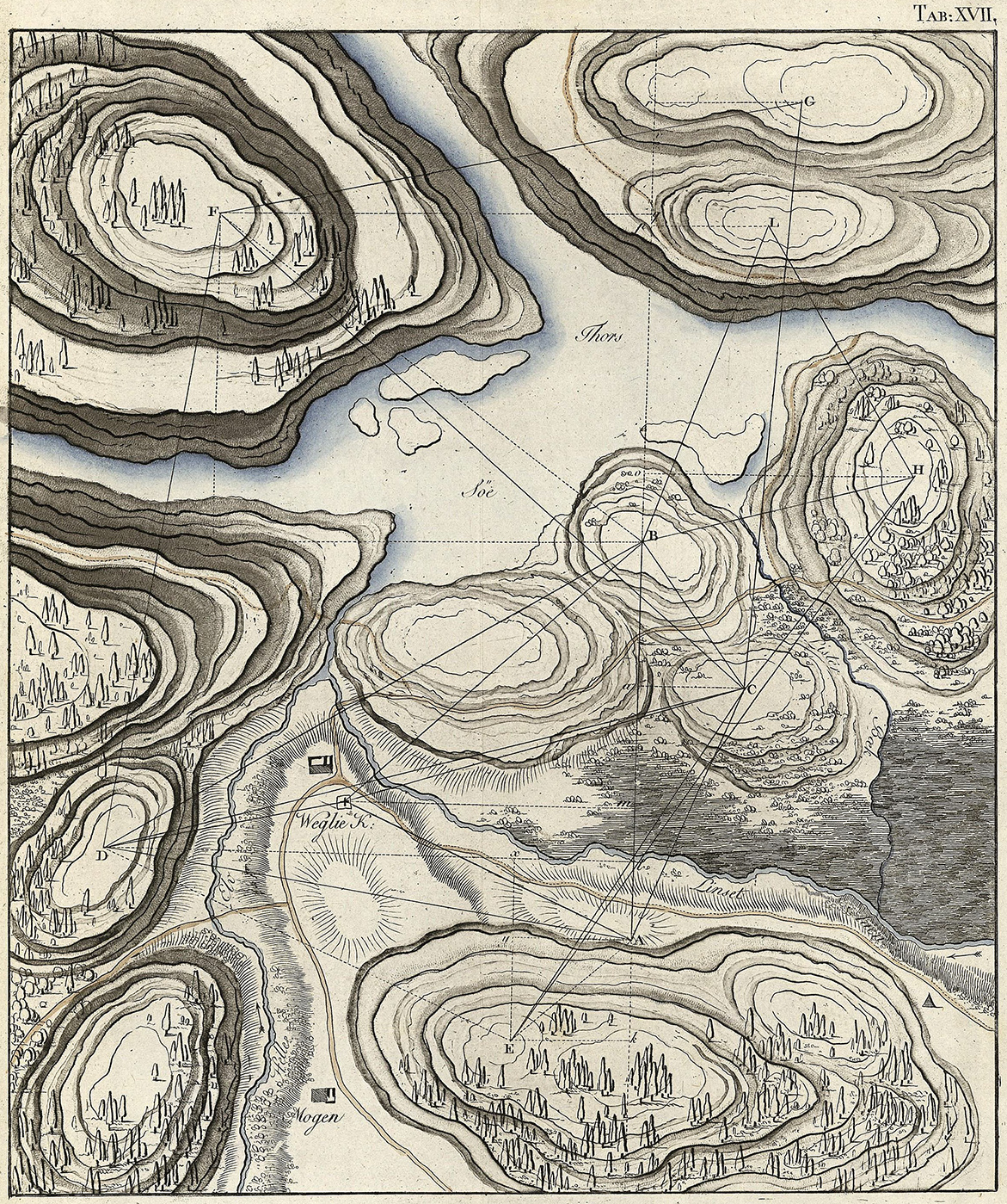
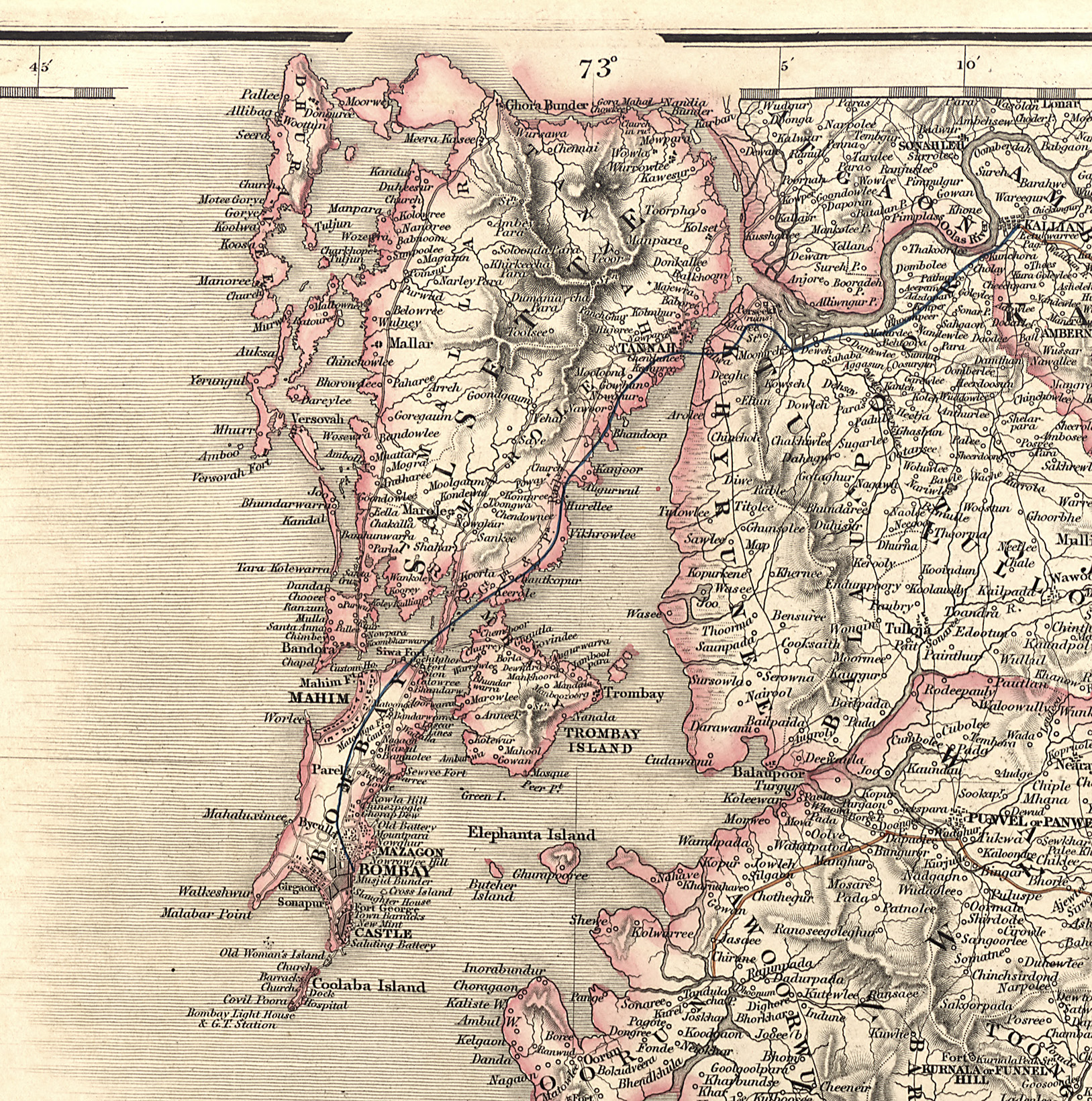
• Triangulation — Learn about about the process of triangulation as the foundation of modern systematic surveys.2
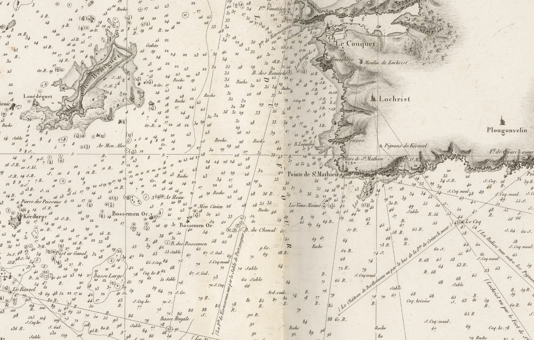
• Hydrographic Mapping — Explore the process of detailed inshore hydrographic mapping for modern navigation.3
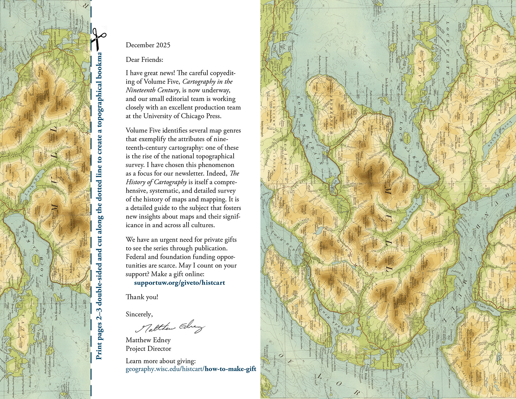
• 2025 Outreach Letter— Read a short introduction to the topic of national topographical surveys in either of these two online versions of a letter we mailed in December.
View it on-screen or or print, and cut out your own topographical bookmark! Mark your favorite book or atlas and think of the HoC Project.