The History of Cartography Project is a research, editorial, and publishing venture drawing international attention to the history of maps and mapping. The Project treats maps as cultural artifacts created from prehistory through the twentieth century. Its major work is the multi-volume History of Cartography series.
Check out our features on nineteenth-century cartography and Volume 5 publication! –– 2024 Outreach Extras
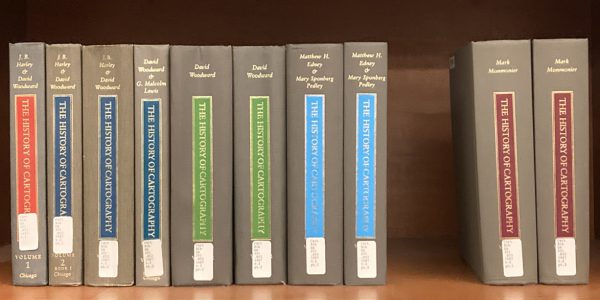
The History of Cartography series
Volume 1, Cartography in Prehistoric, Ancient, and Medieval Europe and the Mediterranean, eds. J. B. Harley and David Woodward (1987)
Volume 2, Book 1, Cartography in the Traditional Islamic and South Asian Societies, eds. J. B. Harley and David Woodward (1992)
Volume 2, Book 2, Cartography in the Traditional East and Southeast Asian Societies, eds. J. B. Harley and David Woodward (1994)
Volume 2, Book 3, Cartography in the Traditional African, American, Arctic, Australian, and Pacific Societies, eds. David Woodward and G. Malcolm Lewis (1998)
Volume 3, Cartography in the European Renaissance, ed. David Woodward (2007)
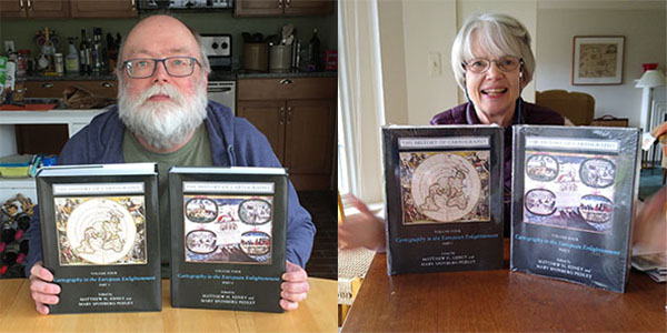
Volume 4, Cartography in the European Enlightenment, eds. Matthew Edney and Mary Pedley (2019)
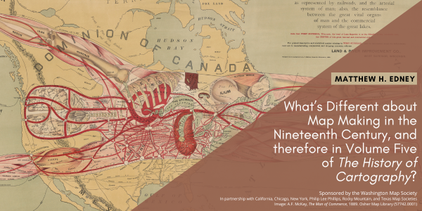
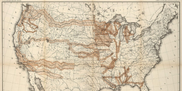
Volume 5, Cartography in the Nineteenth Century, eds. Roger J. P. Kain and Judith A. Leimer (2027)
Volume 6, Cartography in the Twentieth Century, ed. Mark Monmonier (2015)

