Map Exhibits at the University of Wisconsin–Madison
Mapmaking: Sources from the Geography Library, Map Library, and Special Collections (2015)
This exhibit, which was shown from April 15 to August 14, 2015, honored the path-breaking accomplishments of the History of Cartography Project and the spring 2015 publication of Volume Six, Cartography in the Twentieth Century.
Read more about the exhibit here.

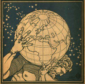
Cover of Atlante geografico metodico, ed. Luigi Visintin (Novara: Istituto geografico de Agostini, 1927). Courtesy of the Department of Special Collections, Memorial Library, University of Wisconsin-Madison.
Marginalia in cARTography (2014)
More information about the spring 2014 exhibit, which explored cartography as an art form with a focus on the artistic representations in the map margins is available from the Chazen Museum of Art. Curator Sandra Sáenz-López Pérez conducted research for the exhibit during her residency at the UW–Madison as the David Woodward Memorial Fellow in 2013.
An exhibition overview is available or view the catalog directly.

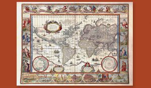
Blaeu, Willem Janszoon, Nova Totius Terrarum Orbis Geographica ac Hydrographica Tabula, Map, Amsterdam, 1635. Courtesy of the Department of Special Collections, Memorial Library, University of Wisconsin-Madison.
Windows on the World: A Selection of Historical Maps (2002)
“Windows on the World” was an exhibit at the University of Wisconsin Department of Special Collections that was launched on the occasion of the 24th annual Institute for Research in the Humanities Burdick-Vary symposium on the Cartography in the European Renaissance (6-8 April 2000). The symposium was intended as a forum for issues arising out of the research for Volume Three of The History of Cartography. “Windows on the World” reveals to the general public and university community some of the many historical map resources currently available in the University of Wisconsin library collections. The cartographic treasures are often overlooked, embedded as they are in a huge library system that must respond to dozens of demanding undergraduate and graduate programs. We hope that this exhibit reminds not only scholars in the history of cartography and the historical geography of the Midwest but the general public as well of these rich primary collections.
View selected maps from the exhibit here.

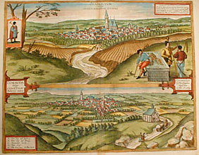
Braun and Hogenberg, Civitates orbis terrarum (1572-1618). Courtesy of Wisconsin State Historical Society.
