
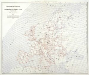
Anibale Ferrero, Red Geodésica europea para la determinación de la figura y dimensiones de la tierra (Madrid: Instituto Geográfico y Estadistico, 1881). Lithograph, 61 × 74 cm. Courtesy of the Biblioteca Nacional de España. Click image to view in high resolution.
National Topographical Surveys and “Cartography”
Matthew Edney considers the ways the development and spread of the nineteenth century national surveys served as a foundation for modern cartography. (2025 outreach letter and accompanying essays at 2025 Outreach Extras.)
Video Library
Featuring original content about Enlightenment cartography and recordings of lectures and presentations that are too good to miss.
Recent Publication: Volume 4
Cartography in the European Enlightenment was published in 2019.
Telling the Story of Mapping History
by JANELLE GREENE
The UW–Madison Department of Geography and College of Letters and Science reported on the History of Cartography Project in May 2025.
The History of Mapping takes 50 Years to Tell (public radio)
Project director Matthew Edney was interviewed by Larry Rayburn for the show Conversations with Larry Meiller, Wisconsin Public Radio (Ideas Network) in July 2025.
Riches and Rivalries: The Evolution of European Cartography with Matthew Edney (podcast)
Project director Edney talked about The History of Cartography and how it has been made available for free online access during an interview for the podcast “What’s Your Map?” by host Jerry Brotton.
40-Year Map Project Draws to a Close
Inside UW’s profile of the History of Cartography Project.