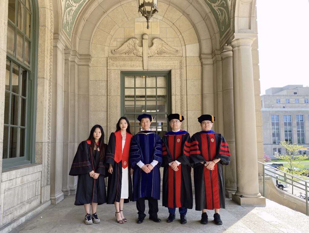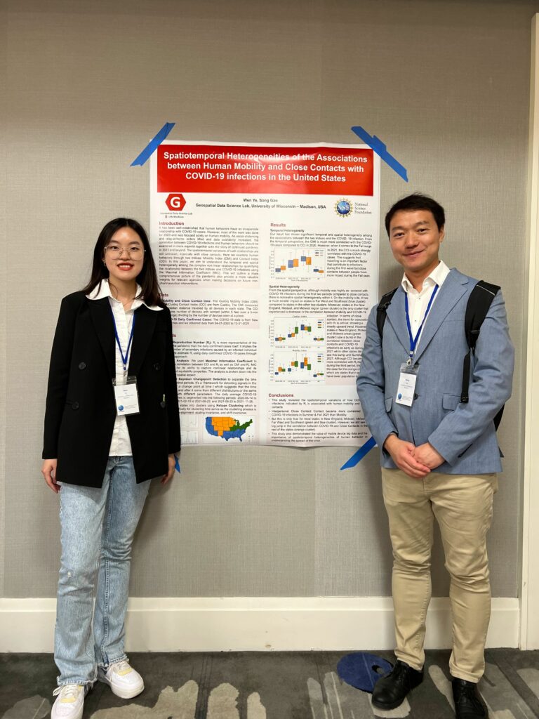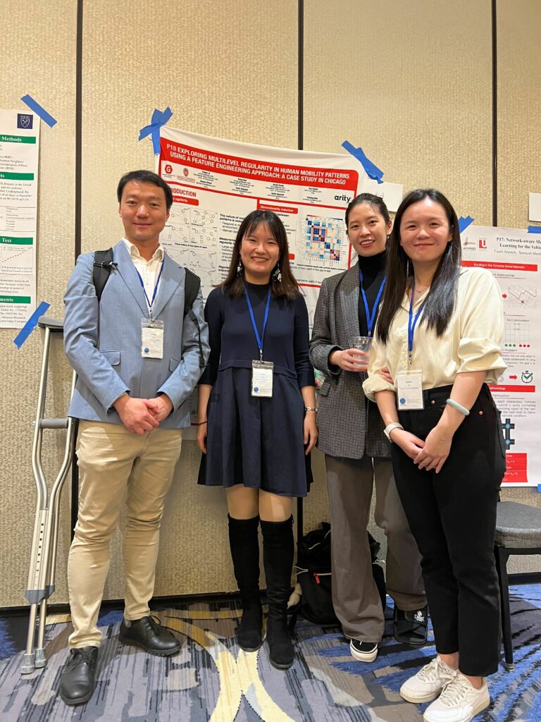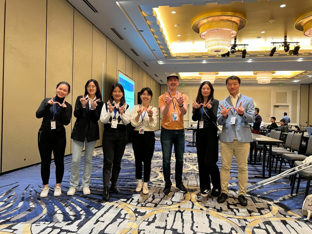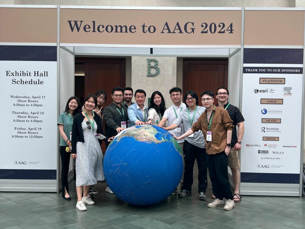
Our GeoDS lab’s students and alumni recently attended the American Association of Geographers (AAG) 2024 Annual Meeting held in Honolulu, HI. It was a great reunion for the GeoDS family at the conference!
Here are the sessions we led and participated:
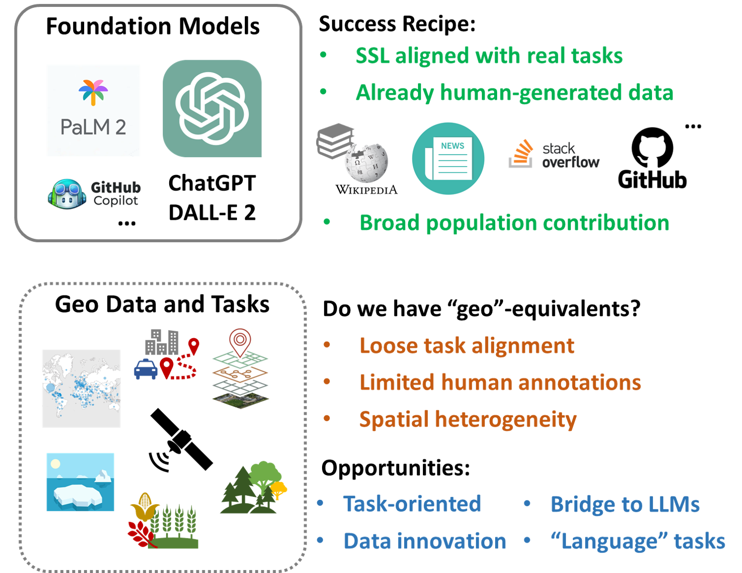
GeoAI and Deep Learning Symposium: GeoAI Foundation Models
Type: Panel Date: 4/16/2024
GeoAI and Deep Learning Symposium: GeoAI for Science and the Science of GeoAI
Type: Panel Date: 4/17/2024
Symposium on Geospatial Data Science for Sustainability: Convergence Curriculum for Geospatial Data Science
Type: Panel Date: 4/17/2024
Symposium on Human Dynamics Research: Human Dynamics meets GeoAI
Type: Panel Date: 4/18/2024
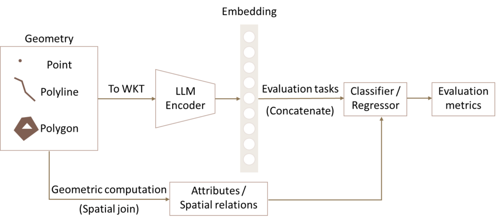
GeoAI and Deep Learning Symposium: Spatially Explicit Machine Learning and Artificial Intelligence I
Type: Paper Date: 4/16/2024
Presenter: Yuhan Ji
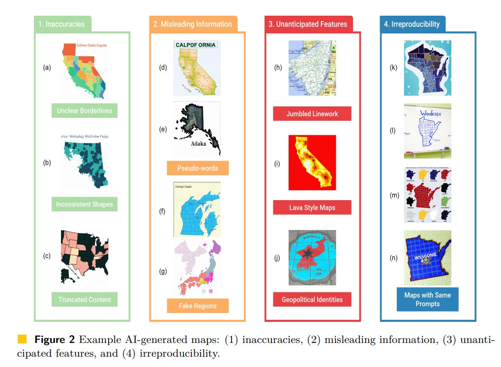
GeoAI and Deep Learning Symposium – Responsible GeoAI I: Privacy and Fairness
Type: Paper Date: 4/18/2024
GeoAI and Deep Learning Symposium – Responsible GeoAI II: Justice and Accuracy
Type: Paper Date: 4/18/2024
Presenter: Qianheng Zhang
GISS-SG Student Honors Paper Competition
Type: Paper Date: 4/18/2024
Presenter: Jake Krue
GeoAI and Deep Learning Symposium: GeoAI for Sustainable and Computational Agriculture I
Type: Paper Date: 4/18/2024
Primary Organizer: Jinmeng Rao, Google DeepMind
Symposium on GeoAI and Deep Learning for Geospatial Research: Human-centered Geospatial Data Science
Type: Paper Date: 4/19/2024
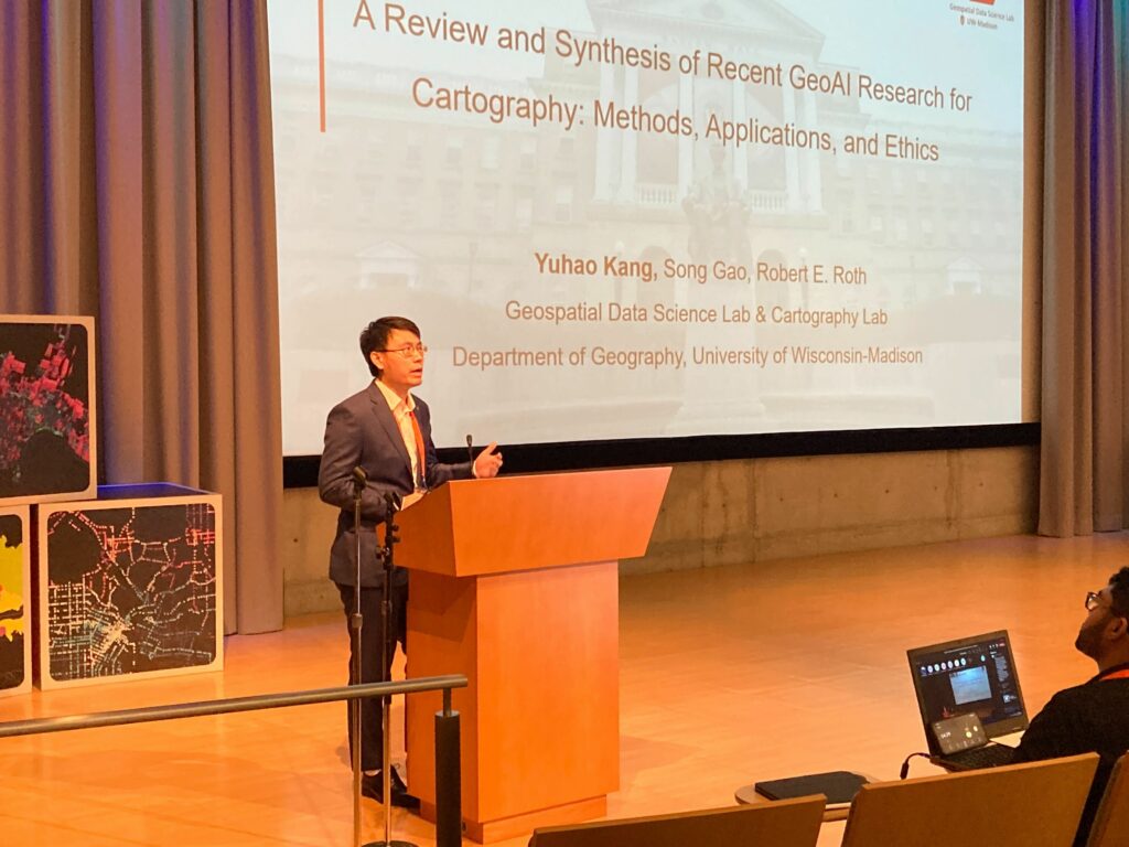
Primary Organizer: Yuhao Kang, University of South Carolina
GeoAI and Deep Learning Symposium: Emerging Geo-Big Data Applications in Human Mobility Analysis I: Transport & Social Challenges
Type: Paper Date: 4/19/2024
Presenter: Yichen Xu
GeoAI and Deep Learning Symposium: GeoAI for Spatial Analytics and Modeling
Type: Paper Date: 4/20/2024
Presenter: Yunlei Liang