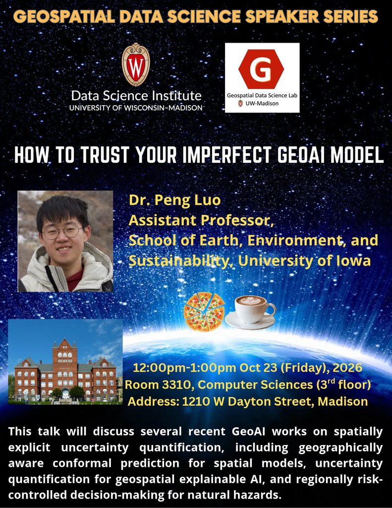
Title: How to Trust Your Imperfect GeoAI Model
Abstract: GeoAI is increasingly used to support spatial decision-making in housing, environmental health, and disaster management, yet no GeoAI model is perfect: its predictions are inherently uncertain, and that uncertainty varies across space. Trusting an imperfect model therefore requires knowing not only what it predicts, but how reliable each prediction is, and where. In this presentation, I will discuss several recent works on spatially explicit uncertainty quantification (UQ), including geographically aware conformal prediction for spatial models, uncertainty quantification for geospatial explainable AI, and regionally risk-controlled decision-making for natural hazards. Specifically, I will address: 1) WHY do GeoAI models need spatially explicit uncertainty? 2) HOW can we measure uncertainty, in both predictions and explanations, in a way that respects geography? and 3) WHAT does it take to move from uncertainty to trustworthy decisions?
Bio: Dr. Peng Luo is an Assistant Professor in the Department of Earth and Environmental Sciences at the University of Iowa. His research focuses on trustworthy GeoAI, with particular interests in spatially explicit modeling, geospatial explainable AI, uncertainty quantification for GeoAI models, and multi-agent GeoAI. He holds a Ph.D. in Cartography from the Technical University of Munich and was a visiting researcher at the University of Oxford. Before joining Iowa, he was a postdoctoral researcher at the MIT Senseable City Lab. He has published in venues such as the AAAG, IJGIS, TGIS, CaGIS, ISPRS JPRS and Nature Health. He has served as a review panelist for NASA’s Earth Science Division.
Homepage: https://peng-luo.com/
Event Calendar: https://today.wisc.edu/events/view/226908