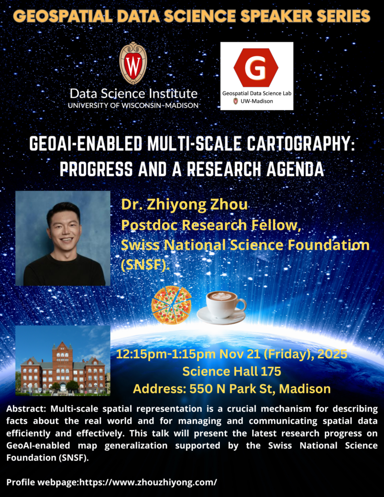
Geospatial Data Science Seminar with Dr. Zhiyong Zhou

Title: GeoAI-enabled multi-scale cartography: progress and a research agenda

Abstract:

Multi-scale spatial representation is a crucial mechanism for describing facts about the real world and for managing and communicating spatial data efficiently and effectively. To enable such multi-scale spatial representation, map generalization has thus been developed. The advances of GeoAI, which focus on spatially oriented deep learning and process understanding with AI techniques, have brought about a new paradigm for map generalization. In this talk, I will present the latest research progress on GeoAI-enabled map generalization supported by the Swiss National Science Foundation (SNSF). This work spans the full GeoAI workflow: from geospatial problem formulation and spatial data modeling to spatially aware deep learning architectures and explainable AI techniques. Building on these developments, I will also discuss key technical challenges and research opportunities for applying GeoAI to multi-scale cartography, with the aim of informing and inspiring future innovation in the field.

Short bio:

Dr. Zhiyong Zhou is a Swiss postdoctoral research fellow and a visiting scholar at the GeoDS Lab, University of Wisconsin-Madison, which is supported by the SNSF Postdoc.Mobility Fellowship. Prior that, he was a postdoc at the Department of Geography, University of Zurich, Switzerland. He holds a Ph.D. in Geography/Earth System Science from the University of Zurich, as well as an M.E. degree and a B.E. degree with Honors from China University of Geosciences (Wuhan). His research focuses on human-centered geospatial AI. He primarily investigates human–space interactions and develop human-adaptive, spatially explicit techniques for spatial data generalization, smart mobility, and sustainable built environments. Additionally, he serves as vice-chair of the ICA Commission on Location-Based Services.

Personal website: https://www.zhouzhiyong.com/
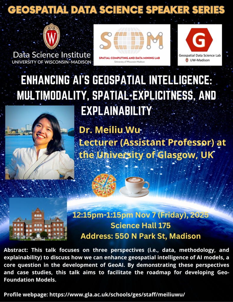
Geospatial Data Science Seminar with Dr. Meiliu Wu

Title

Enhancing AI’s Geospatial Intelligence: Multimodality, Spatial-Explicitness, and Explainability

Abstract

This talk focuses on three perspectives (i.e., data, methodology, and explainability) to discuss how we can enhance geospatial intelligence of AI models, a core question in the development of GeoAI. First, I will introduce a multimodal learning framework that fuses remote sensing imagery, LiDAR, and text/POIs. The framework consists of CityVerse, a curated geospatial multimodal benchmark, and CLIP4Geo, a geospatial vision-language model that aligns geographic coordinates, textual descriptions, and visual features to support various urban analytical tasks, highlighting the value of dataset quality over sheer scale. Next, I will present the design of spatially explicit graph neural networks that integrate mobility (OD flows) with geographic contiguity, and showcase their performance in epidemic forecasting. Results reveal city-specific regimes where hybrid mobility-contiguity graphs can outperform either alone. Finally, I will present Semantic4Safety, an explainable GeoAI pipeline for urban road safety: zero-shot semantic segmentation constructs interpretable streetscape indicators from street view images, coupled with XGBoost, SHAP, and causal effect estimation on geo-located incidents to yield actionable, type-specific risk factors. By demonstrating these perspectives and case studies, this talk aims to facilitate the roadmap for developing Geo-Foundation Models in the future. 

Short Bio

Dr. Meiliu Wu is a Lecturer (Assistant Professor) in Geospatial Data Science at the University of Glasgow (UoG), where she directs the new MSc program in Geospatial Data Science and AI and leads the GIFTS Lab (Geospatial Intelligence for Future Technology and Sustainability Lab). She earned her PhD in Geography from the University of Wisconsin-Madison in May 2024 and joined UoG in August 2024. Dr. Wu’s research interests include GIScience, geospatial AI (GeoAI), debiasing, urban analytics, and environmental sciences, with her work featured in leading journals/conferences and funded by UKRI and the Alan Turing Institution. She is a Fellow of Royal Geographical Society with IBG, serving as a Committee Executive Member of GIScience Research Group.

Profile webpage: https://www.gla.ac.uk/schools/ges/staff/meiliuwu/

Personal webpage: https://meiliuwu.github.io/

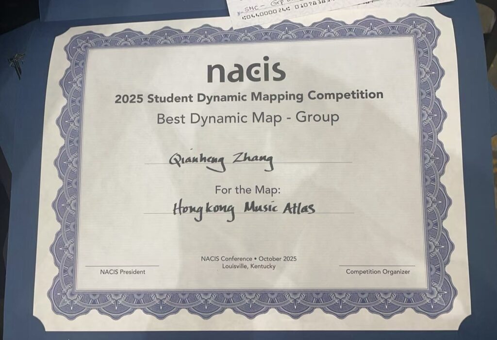
GeoDS Lab student Qianheng ZHANG won the Annual Student Dynamic Map Competition at NACIS 2025

Congratulations to our lab member Qianheng ZHANG (together with Geography PhD student Yanbing Chen) jointly won the 27th Annual Student Dynamic Map Competition at the North American Cartographic Information Society (NACIS) 2025 annual conference.

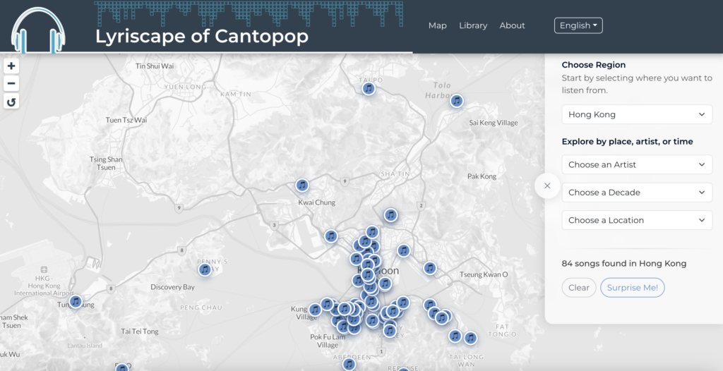
NACIS recognizes the importance of digital and dynamic interactive mapping in Cartography by hosting this competition.The winning team project is the Lyriscape of Cantopop (Hong Kong Music Atlas):

https://qianhengzhang.github.io/HongKongMusicAtlas/#/